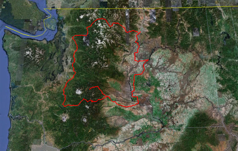
The Cascade 1200 is a
bicycle ride of 1240 kilometers organized by
Seattle International Randonneurs in
accordance with the rules of
Randonneurs Mondiaux and
Audax Club Parisien.
The Randonneurs USA (RUSA) website
has a good general introduction to randonneuring. Most of the geologic information in this report is from the book Roadside Geology of Washington, Alt and Hyndman, Mountain Press, Missoula, 1984.
The ride is 774 miles. The time limit is 93 hours.
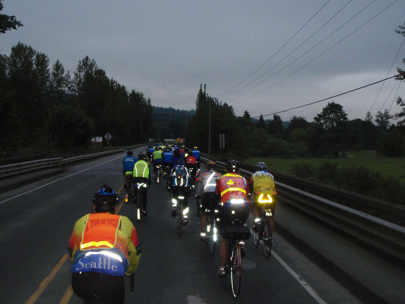
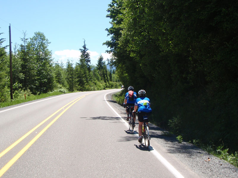
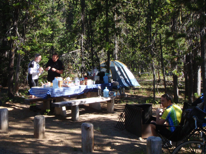
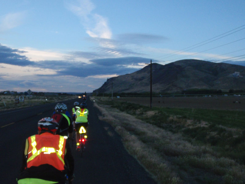
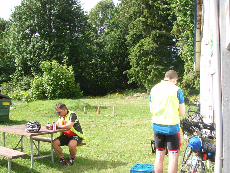
Day 1
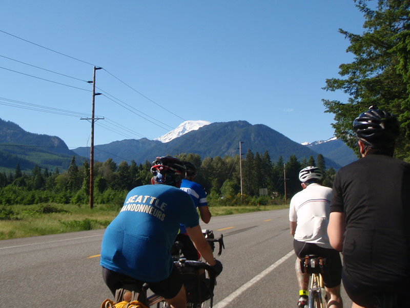
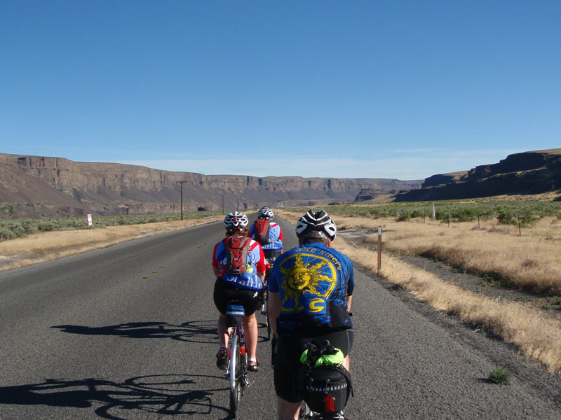
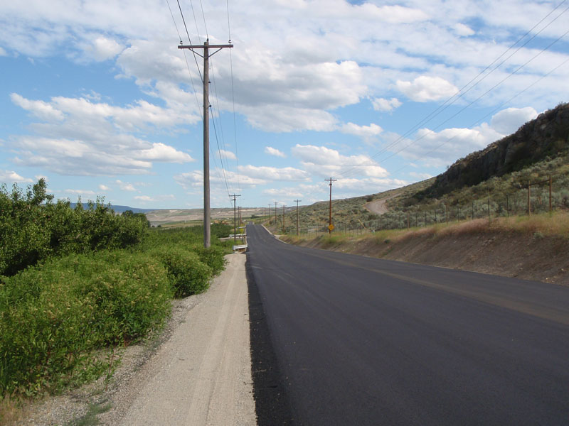
94 riders left Monroe, Washington at 06:00 on June 26th. We started out in a
large group rolling through Snoqualmie River Valley for the first 15 miles until
we reached the hill at Ames Lake Road. This was the first of many many hills
that would sort the pack into groups by strength and speed.
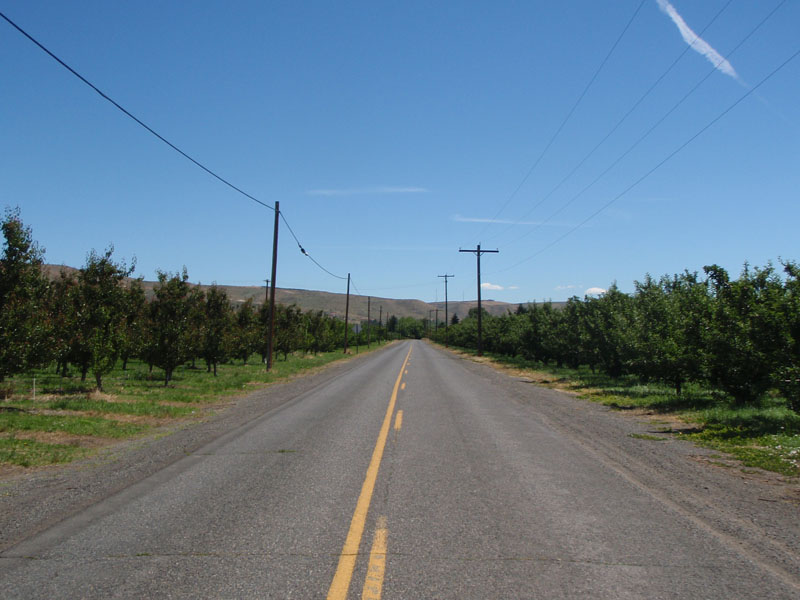
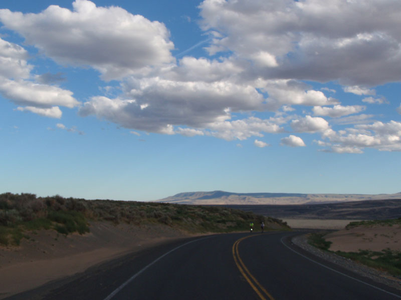
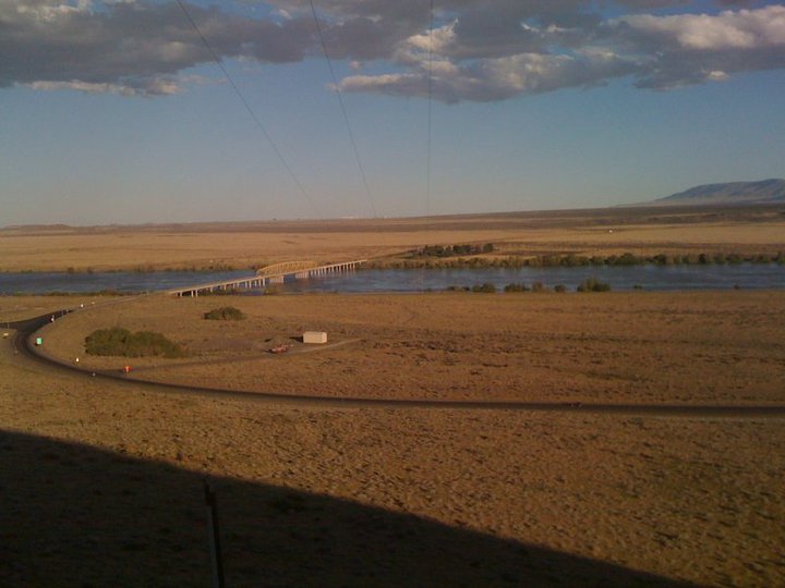
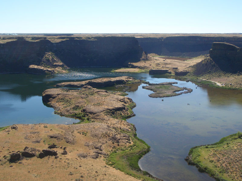
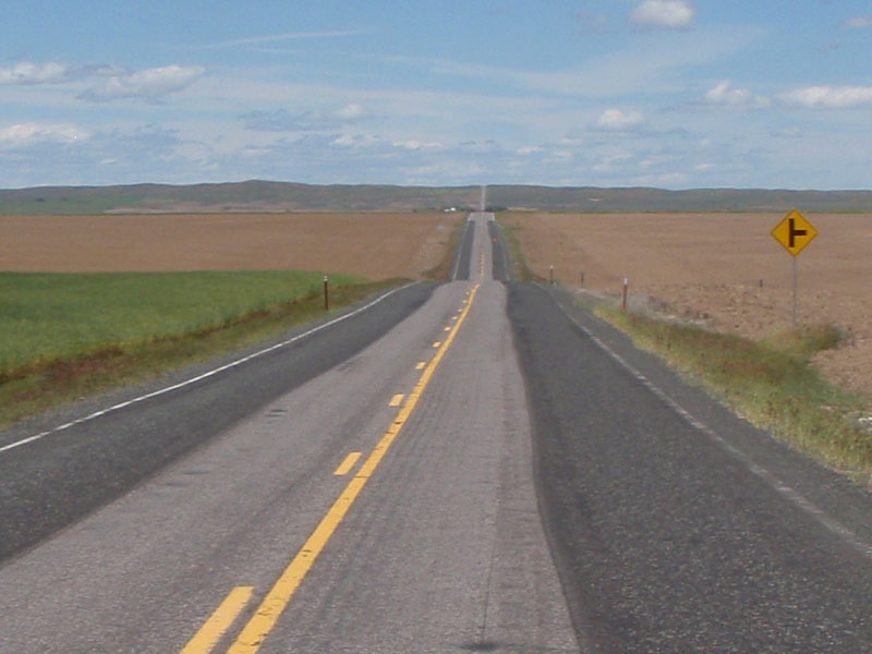
The route crossed over from Snoqualmie Valley to Issaquah, then went
south through the small town of Cumberland (first control stop) towards the area
west of Mount Rainier. The area from Monroe to Enumclaw was completely shaped by
glacial action. A deep layer of mixed rock from sand to huge boulders is all
that's left of a layer of ice 2000 feet thick that once covered the area.
Satellite images show north-south gouges like claw marks from the glaciers that
form the basis of valleys like the Snoqualmie River Valley. The many lakes in
the area were formed by indentation from the uneven lower surface of the
glaciers.
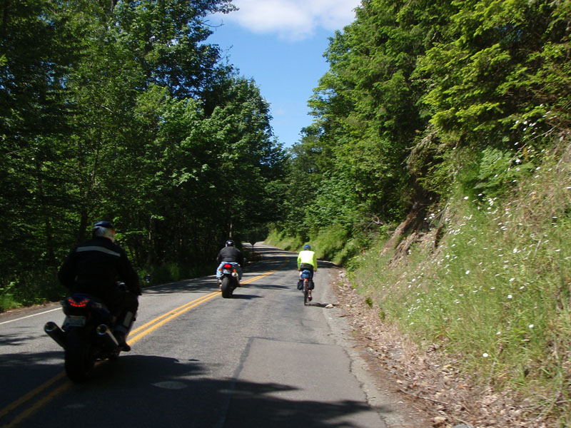
We often find ourselves sharing the road with motorcycles
because they like the same roads we do for the same reasons. The relationship is
usually amicable even though we are slow and they are loud. ;-)
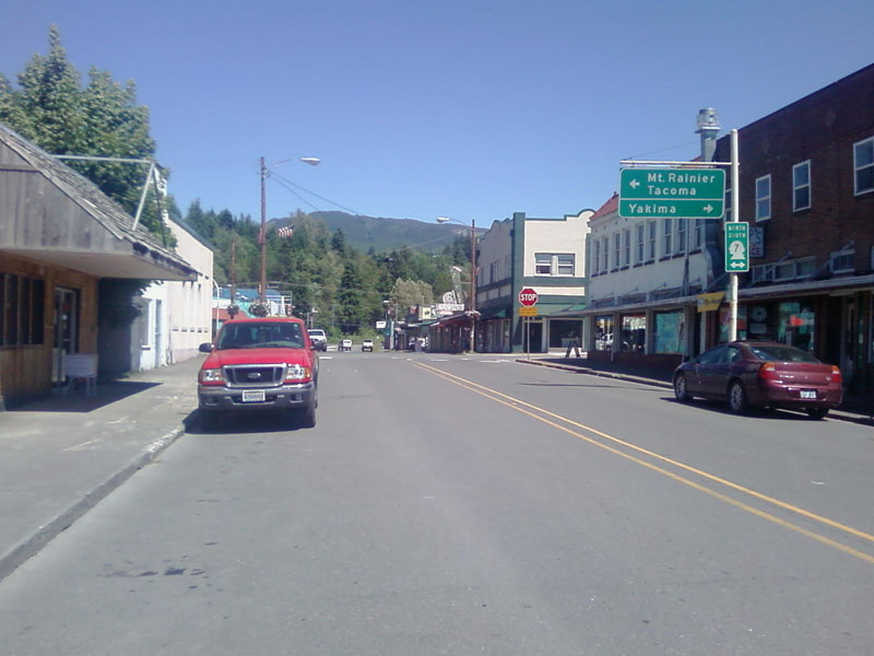
The next stop was in Eatonville. Many riders opted for the bakery but it
looked crowded so I went on to the grocery store. There was a good view of Mount
Rainier from the parking lot.
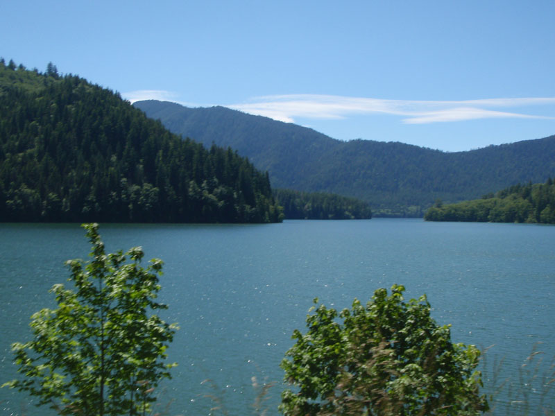
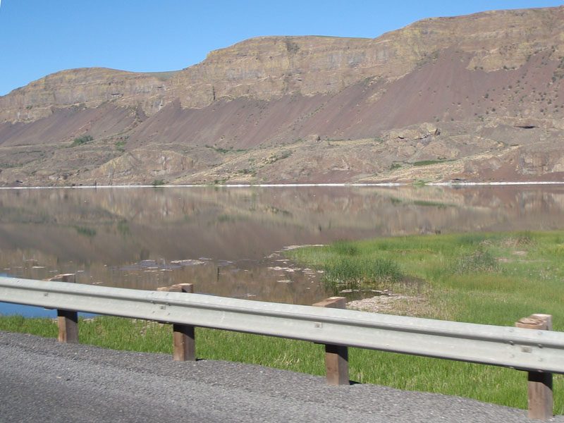
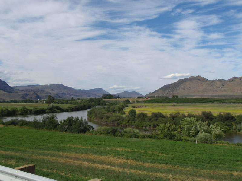
We continued south past Alder Lake and through the hills between Eatonville
and Morton. The area between Eatonville and Elbe is covered by material ejected
from Mount Rainier, mostly in a giant mudflow called the Osceola lahar. The
Osceola lahar 5,600 years ago produced a wall of mud 460 ft deep down the White
River valley that covered an area of over 130 sq mi centered between Enumclaw
and Buckley. That is why we saw all of those "Volcano Evacuation Route" signs
between Cumberland and Elbe. If you hear sirens, climb the nearest steepest hill
you can find. It's probably on the route anyway.
Adder Lake:
Don and Elaine Jameson heading up to Elbe:
I stopped briefly at the excellent Bean Tree Coffee Shop on Main Avenue in
Morton.
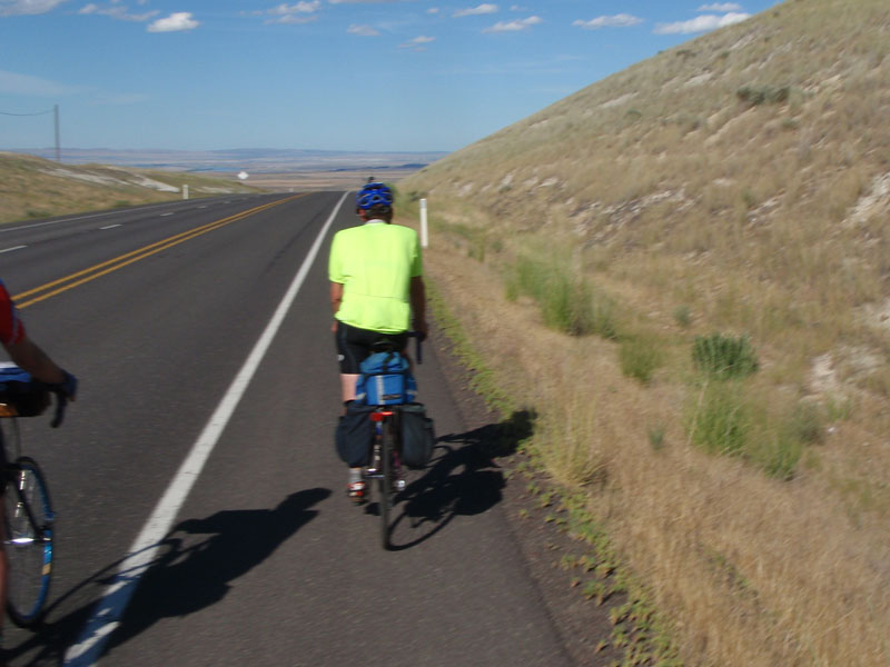
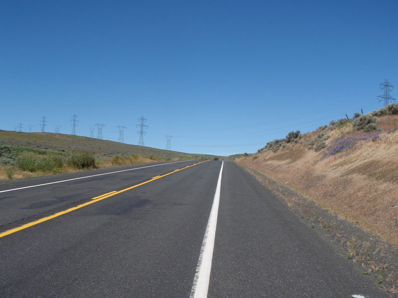
Until Morton, we had headwinds and crosswinds. Once we turned East, we had a
very nice tailwind that lasted for the next 100 miles. Hard to complain about
that!
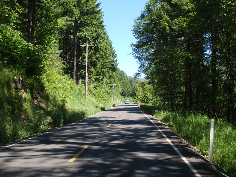
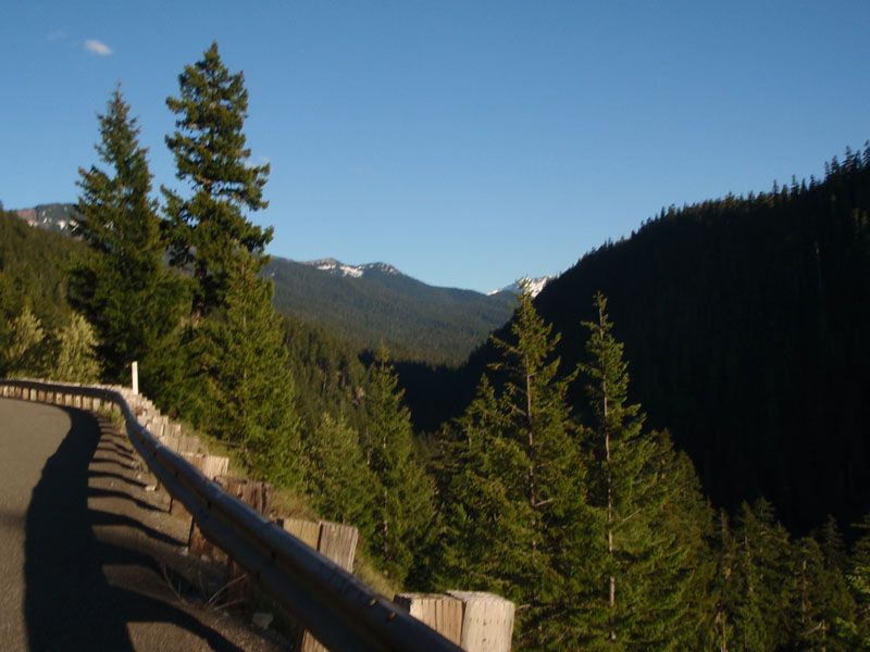
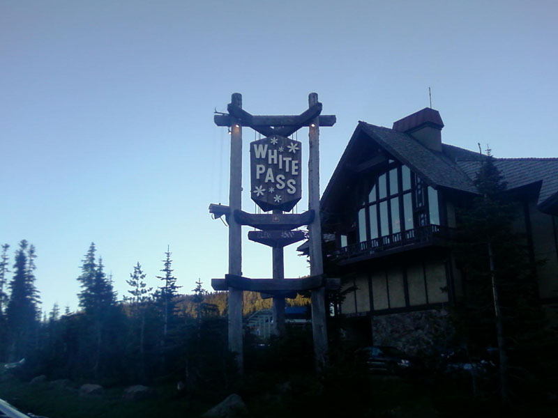
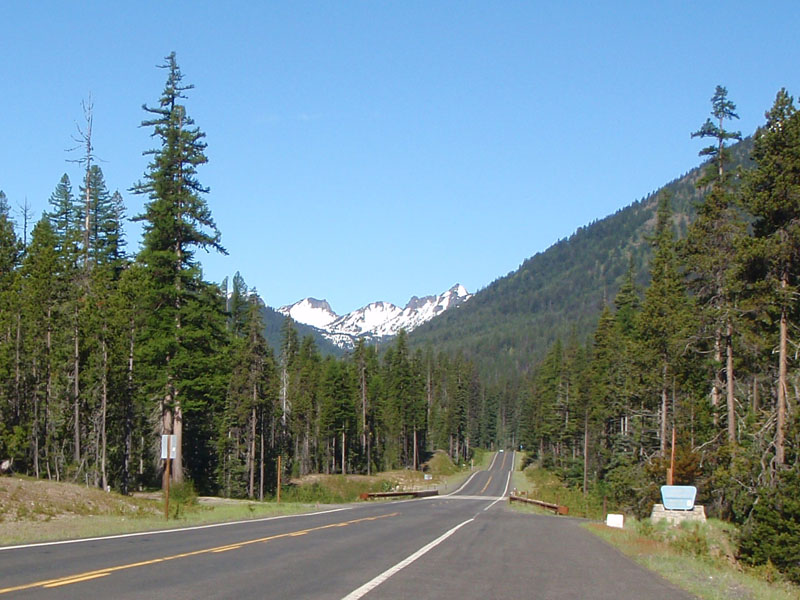
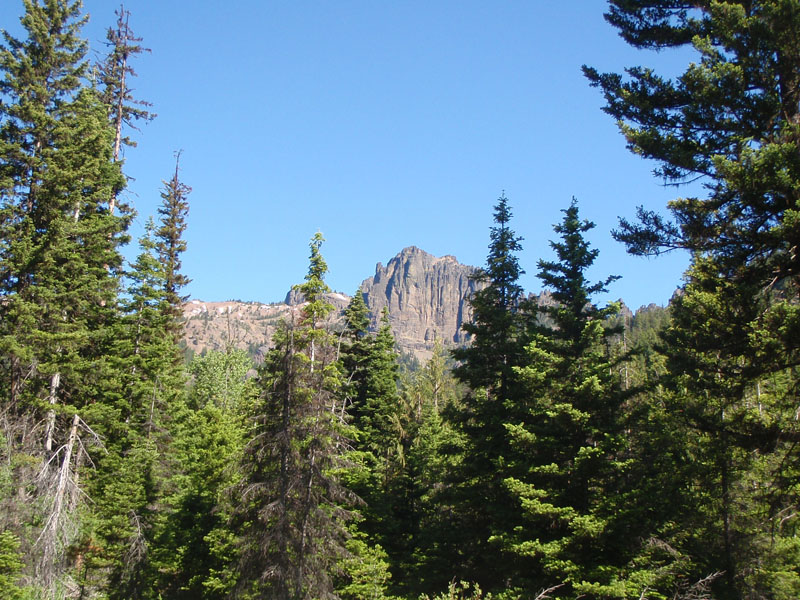
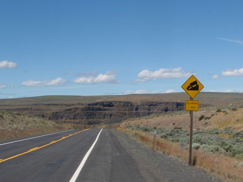
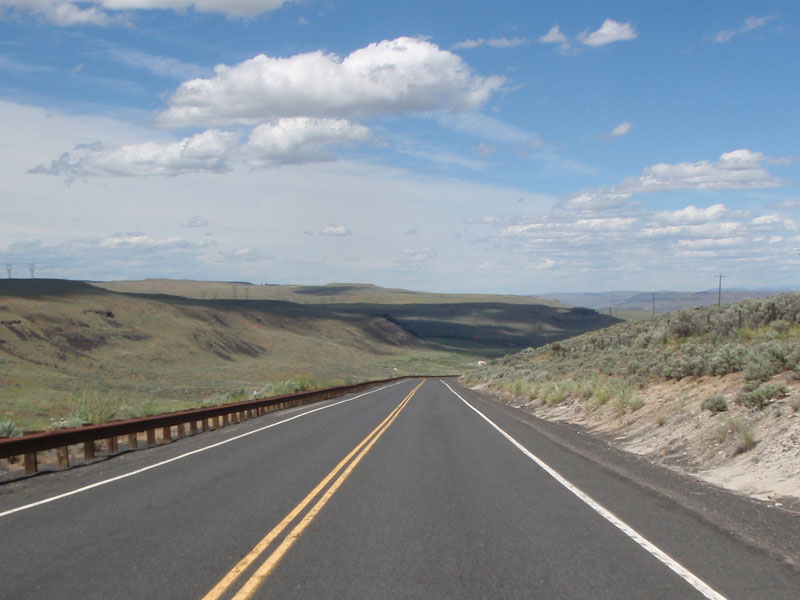
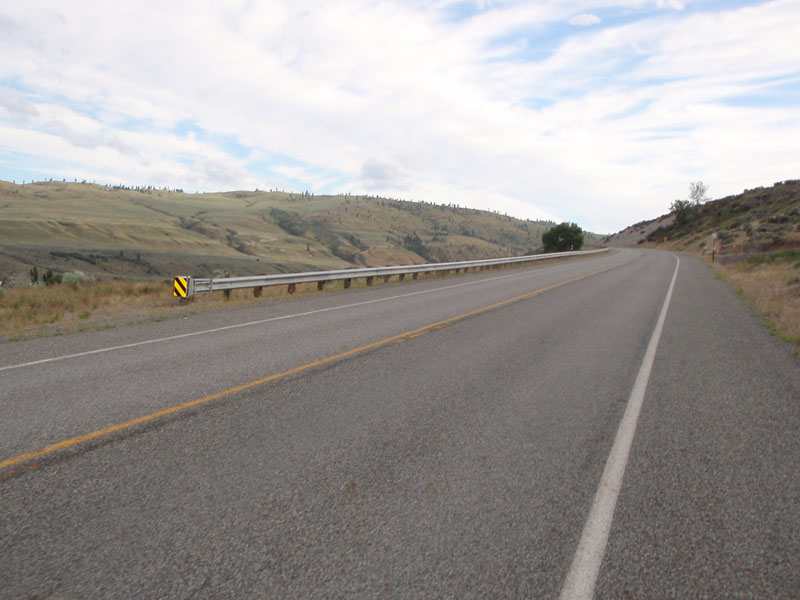
The road over White Pass crosses 2 volcanic regions, the 40 million year old
Western Cascades and the 10 million year old High Cascades. The road from Morton
to the bottom of the White Pass Climb is surrounded by the older Western Cascade
rocks. The White Pass climb and descent to Rimrock are a mixture of Western
Cascade rocks and High Cascade volcanic flows from Mount Rainier. Adams and
Rainier are two of the 5 living volcanos that make up the current High Cascades.
They are driven by the melting of ocean floor material that is still sinking
beneath the continent off the Washington coast. They have grown up through older
extinct volcanos of the Western Cascades.
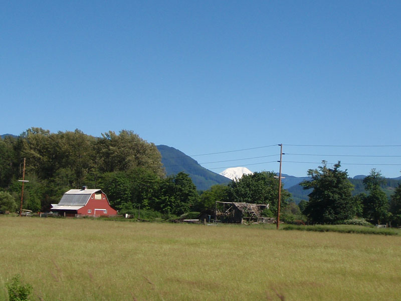
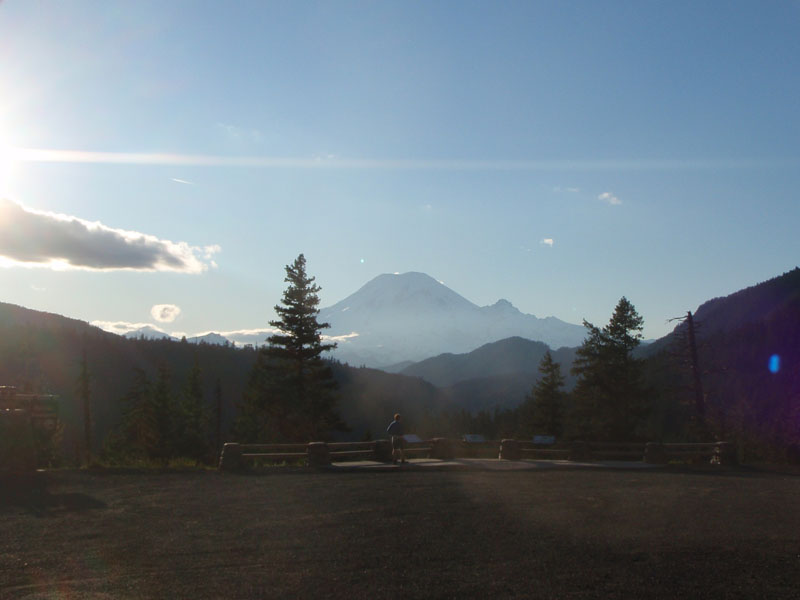
Davis Lake Road:
A
glimpse of Mount Adams to the south:
and
Mount Rainier to the north (That's Robert Higdon, Chris Gay, Joe Platzner, and
Ralph Nussbaum.)
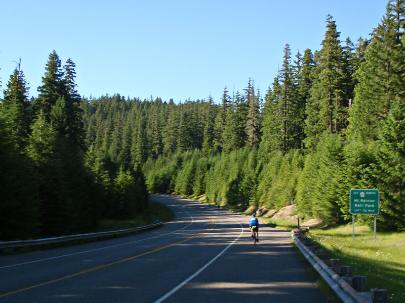
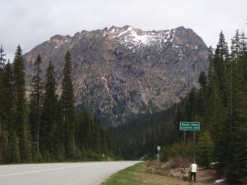
Starting the climb to White Pass. This is 1/2 mile from the turnoff to
Cayuse Pass.
On the 12 mile climb up White Pass.
View of Rainier from the South
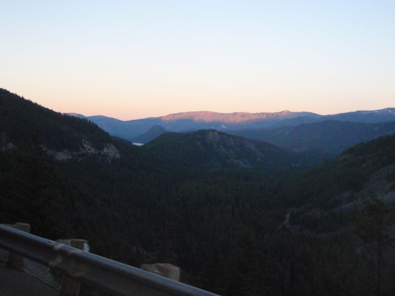
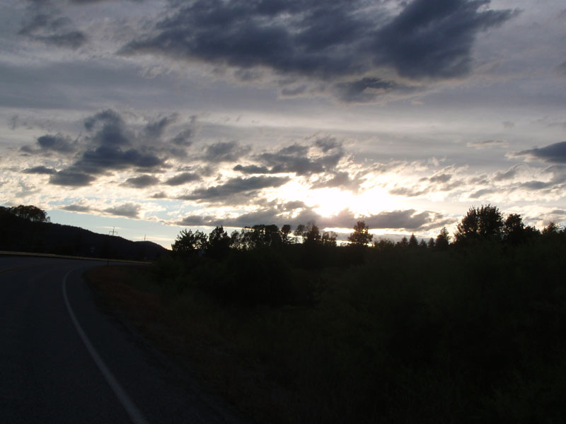
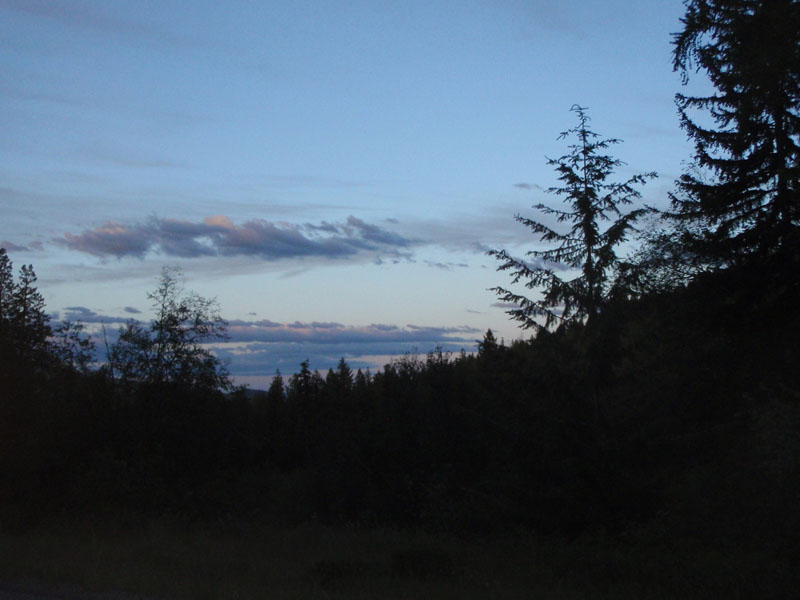
Sunset on the White Pass climb.
Still climbing. That's Robert Higdon, Ian Shopland, Chris Gay, and
George Moore.
At the summit, still in daylight. The tailwind was a wonderful thing.
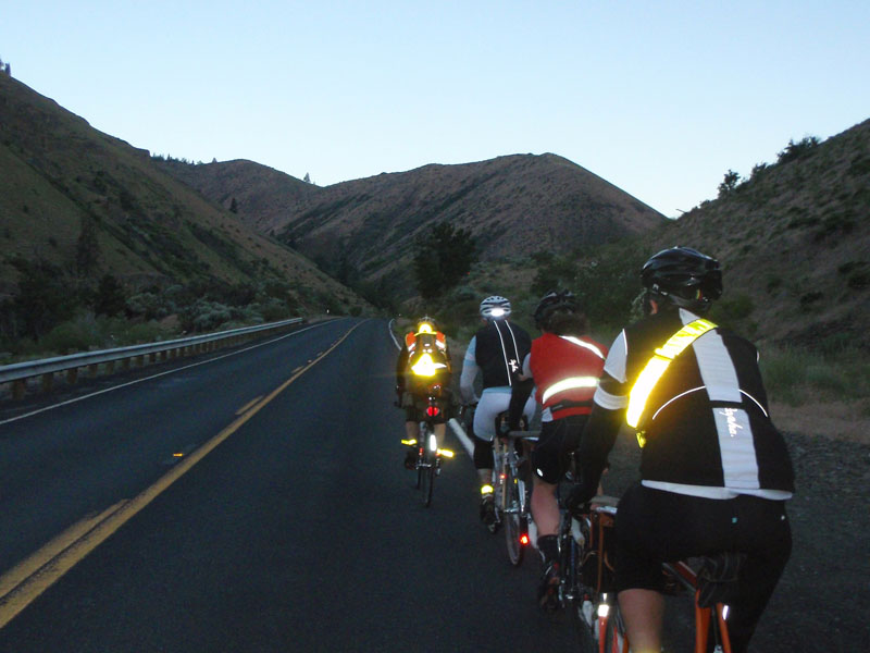
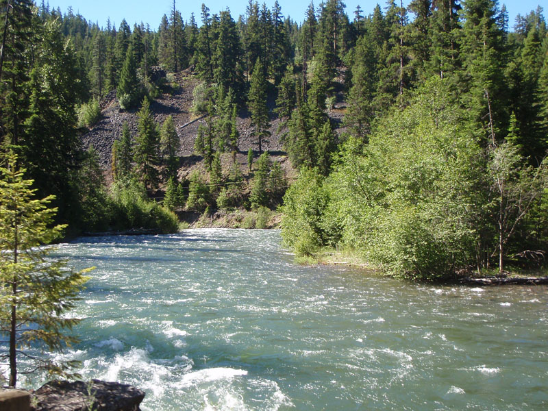
After that, we raced down the east side of White Pass to the very nice Clear
Lake control (thanks for the sandwiches and drinks!). The route took us around
the south side of Rimrock Lake for a few extra climbs before the last 20 mile
descent to the overnight control at Naches. We rolled down the narrow Tieton
valley with the full moon playing hide and seek over the southern ridgetop. It
was a fantastic night with the wind at our backs and the moon lighting the hils
and shining off of the fast flowing river. The last 5 miles in the Naches Valley
I did solo at 22 mph. It was a memorable day, maybe the best I have ever had on
a bike. 225 miles with 10000 feet of climbing in 17.5 hours on the clock and I
felt good at the end of it.
The overnight was in the middle school at Naches. The food was good but the
showers were cold and the wrestling mats in the gym were pretty hard for
sleeping. This was my first time with mass sleeping arrangements on a brevet so
it was a learning experience. Another time might take my sleeping bag outside
and sleep on the ground as long as the weather stayed dry.
Day 2
At the beginning of Day 2 we had to pay back some of the great wind
assistance from day 1 by riding 44 miles upwind and 2000 feet uphill to the
Lodgepole campground control, about 6 miles short of Chinook Pass.
One thing that made the climb pleasant was the air of spring in the
valley. There were many wildflowers - lupines, orange honeysuckle, Nootka roses
- and butterflies around. The blooming season is brief on the eastern side of
the Cascades and we were lucky to see it.
Eventually, I got to the control and got ready for another sleigh ride
back to Naches.
I stopped along the way to take a picture of Fife's Peak. It is the remnant
of a large Western Cascade volcano.
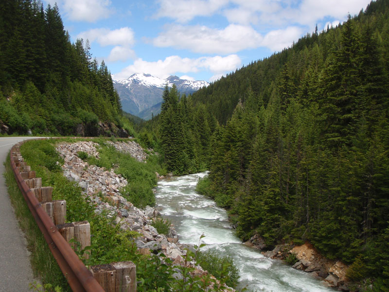
Most of the
way down was in sight of the American River or Naches River:
This is
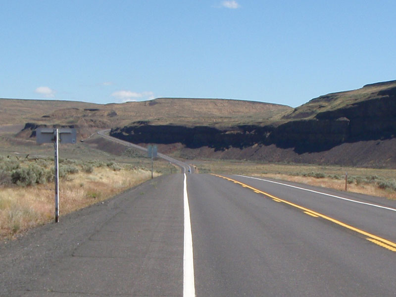
near the bottom, back at Naches. We are now in the Columbia Plateau region which
is covered with basalt lava flows from east and south of this area. We will see
much more of this over the next 2 days.
The route went parallel to the highway for several miles on Old
Naches Highway. It winds through the orchards with a few extra hills thrown in
to keep it interesting. It was starting to get hot, at least for us Western
Washington residents. The next 18 miles to the Fruitdale control were tacking to
windward on farm roads with a few hills thrown in for good measure (is there a
pattern here?). I rode this stretch trading off with Don and Elaine Jameson and
Dwight Brown.
The next control was at Fruitdale on the edge of Yakima where we
found an oasis:
I was having some problems on the second day with the toes of both feet
hurting and I was also getting saddle pain on the left. I started taking my
shoes off at every stop and that helped some. Eventually 2 toes in my left
foot went numb and stayed that way for some time after the ride was over.
After a nice 8 mile run through Yakima on the bike trail along
the Yakima river, we had a somewhat less nice 40 mile ride on the shoulder of
Highway 24. It was in the low 90's and there was a singular lack of shade along
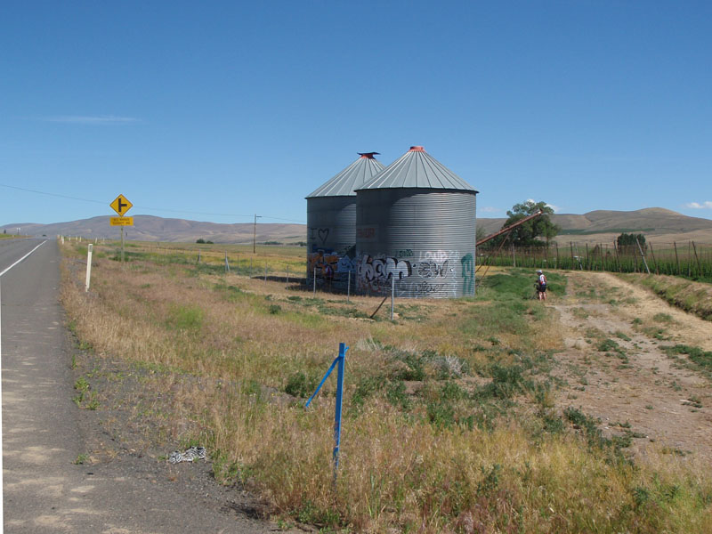
the way. We finally came across what I call the Des Marais Cutoff Rest Area (two
grain silos by the side of the road):
Here's Don figuring out how we get ourselves out of this
mess:
Sometimes the sun went behind the clouds. We like
clouds.
Finally we reached the top of the rise after 20 miles and
crossed into the Columbia River valley:
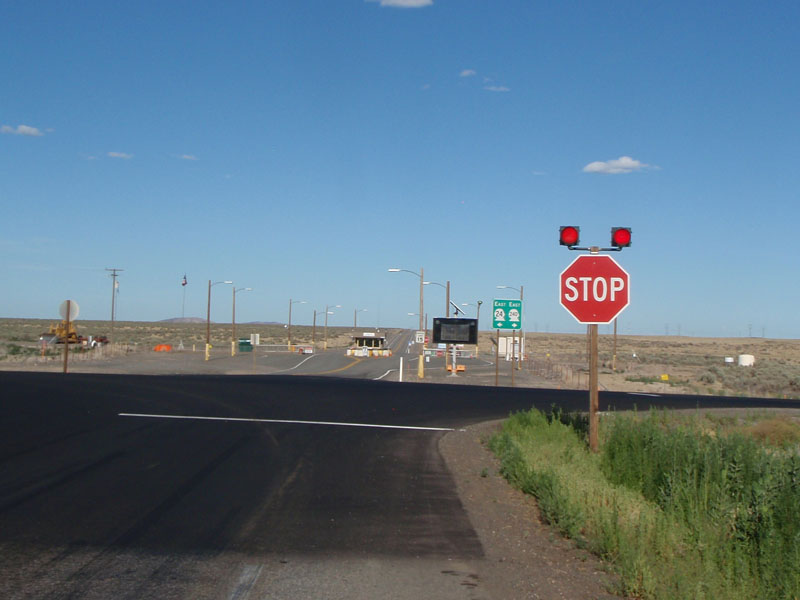
Here we are at the welcoming gates of the Hanford nuclear
reservation:
We stopped for about 1/2 hour at the Vernita Bridge rest area to
rest, fill our bottles, and put our heads under the faucet before heading to
Mattawa. There is a short steep climb just after the Vernita bridge that gets
you from the Columbia river up to the plateau, about 300 feet in 1/2 mile. We
were fortunate enough to get there when the sun was behind a cloud.
This is the view of the Vernita Bridge and Rest area from the top of "the
wall". The rest area is that little patch of trees on the far side.
When we got to the top of the climb, we found the sag wagon
stopped with Irene Takahashi, a rider suffering from heat exhaustion. She
was barely able to sit upright at the time and we thought she was done. I am
glad to say she rested and hydrated for a while, then continued to complete the
full 1200k with time to spare. That's hardcore.
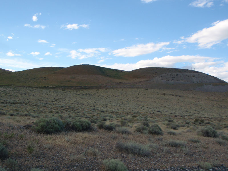
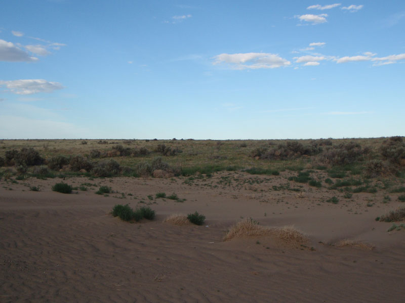
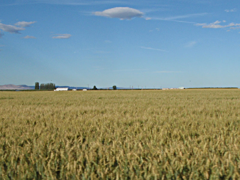
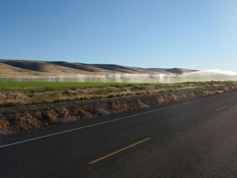
The plateau north of the river was interesting. Part of it
was real desert:
And part of it was amber waves of grain. We had a bit of a
headwind for the 14 miles into Mattawa control.
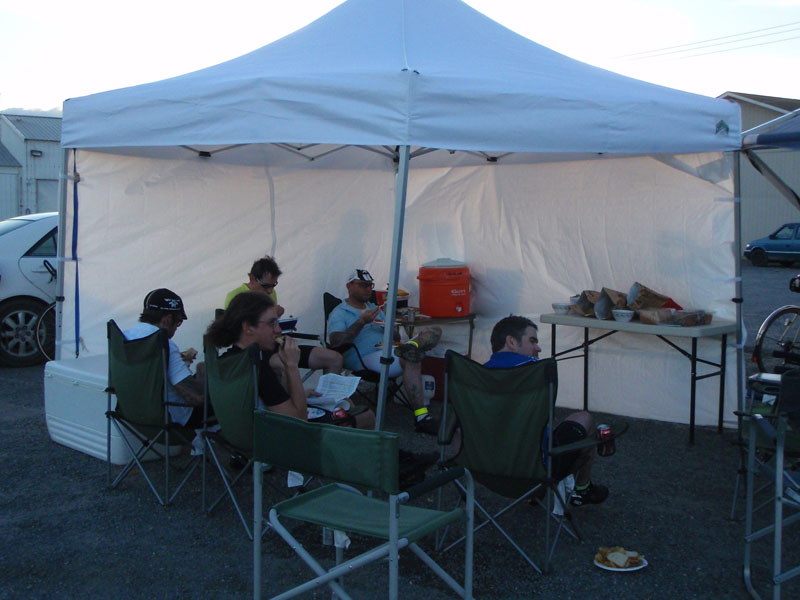
There was another great stop with sandwiches, ice, and
shade at Mattawa. Many thanks to the volunteers!
A good sized group left Mattawa together to ride the
remaining 40 miles to Quincy. This is on the road that passes between
Saddle Mountain and the Columbia River. We got plenty of extra nutrition on this
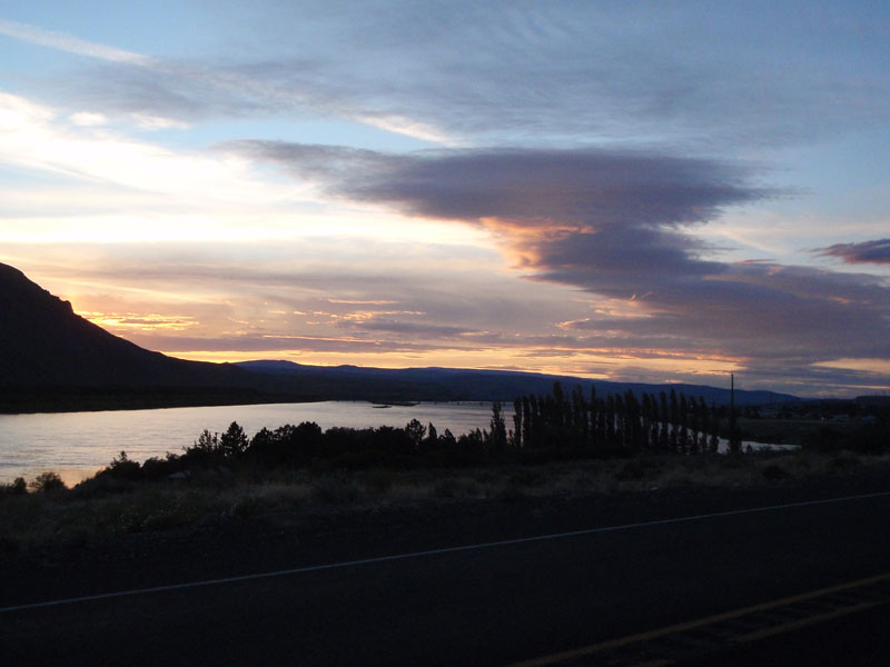
stretch due to the huge number of bugs that came out at dusk.
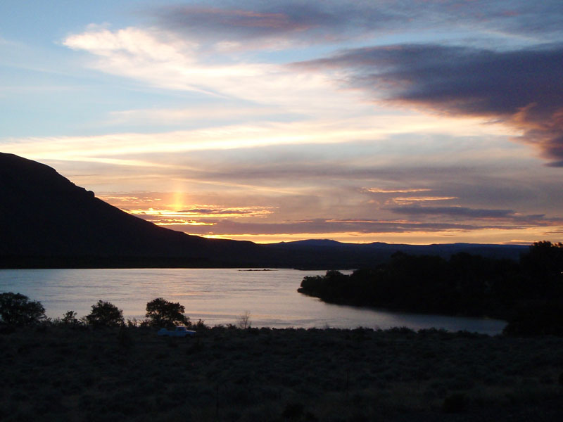
We had another beautiful sunset over the Columbia
River.
After the sunset, we turned onto Beverly Burke Road about 3
miles below the Priest Rapids Dam. At this point we were at 177 miles on
the day and 400 miles into the ride. Beverly Burke Road started with a
seemingly endless 7-1/2 mile climb followed by 6 miles of steep rollers.
Then it dropped off the edge of the world into the plains around Quincy. We went
down a fast descent where the temperature dropped by 25 degrees from the top to
the bottom. The day finished with 15 miles of flat to the overnight control at
Quincy, at mile 208 for the day, 434 total.
The Qunicy stop worked much better for me than the previous
night. There was plenty of hot water in the showers and I was better organized
about getting things done. I got 4 or 5 hours sleep, which was 4 or 5
more than I got in Naches.
Day 3
I left Quincy
with Don and Elaine Jameson at about 5:30 in the morning. The road headed north
through farmlands toward Ephrata in the Grand Coulee. I was looking
forward to this part of the ride because the landscape and geology are so
fascinating. We started in the farming area around Quincy. It was hot but cooler
than day 2.
We met up
with Patrick Leahy along the way and headed into the Grand Coulee from Soap
Lake. Soap Lake has extremely high salt and mineral content
because it has no outlet to the ocean. All of the water escapes
through evaporation.
You can see the white line at the water level from dry
salts
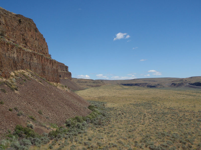
The geology of this area is unique. The basic land form is a
vast basalt flood plain formed about 15 million years ago from giant volcanic
eruptions in southern Washington and in Oregon. The basalt is thousands of feet
deep. The surface features were formed by cataclysmic flash floods that occurred
during the ice age a million years ago. Glaciers blocked the Clark Fork River in
Montana to form a lake 2000 feet deep with 500 cubic miles of water. Ice makes a
poor dam so periodically the dam woud break and drain the entire lake across
eastern Washington literally in a couple of days. What we see now is the
channels scoured by the floods. The floods happened about 40 times as the ice
formed and broke.
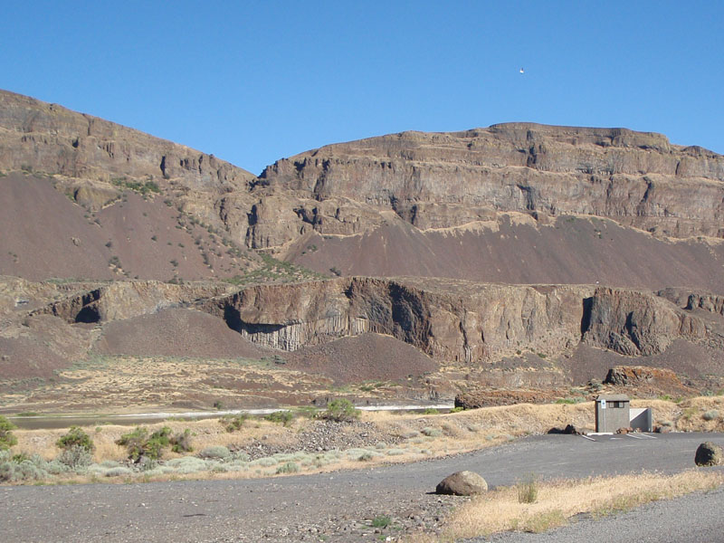
Here is a sample of the eroded lava flows that line the edges of
the Coulee.
This is looking south from the climb up to the Dry Falls
control.
This is Dry Falls. At one time this was a 3 mile wide, 400
foot high waterfall pouring the flood waters from Montana toward the Columbia
River. The 18 mile canyon we just went through was formed by undercutting and
wearing away this waterfall.
After another great control at Dry Falls, we got on Highway
2 and climbed up out of the Grand Coulee. This was a steady climb of roughly 800
feet in 4 miles up to the plateau.
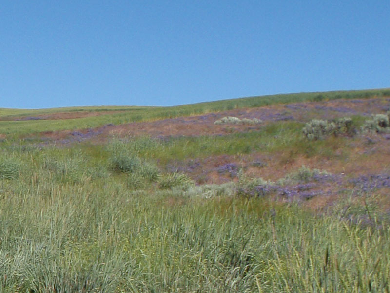
As the road climbs it leaves the barren flood channels and
enters the high plains of rich windblown sediments called loess. Eastern
Washington is covered with this soil where the flash floods did not go. It
is great farmland due to the vast irrigation system drawn from the Columbia
River. Here are the wildflowers and grasses of the brief desert
spring.
This is looking back down into Grand Coulee from the top of
the climb.
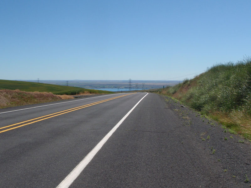
This is looking west from the top of the climb. If you stay on
this road for 170 miles it will take you straight back to Monroe. All you
have to do is cross that little mountain range up there. But that's not the way
we're going.
After about 10 miles rolling on the high plain, you drop
down into Moses Coulee, another ancient flood channel. It's always nice to
see those "Truck on Cheese" signs, as some like to call them.
This is looking east from the bottom of Moses Coulee. The 7%
hill was fun while it lasted.
The climb out of Moses Coulee is about the same as the
one from Grand Coulee but it seems harder because it winds through a canyon and
there are a lot of false summits. Fortunately I pretty much knew what to
expect since we did a 400k last spring that included this climb. This is looking
north along Moses Coulee just before entering the canyon.
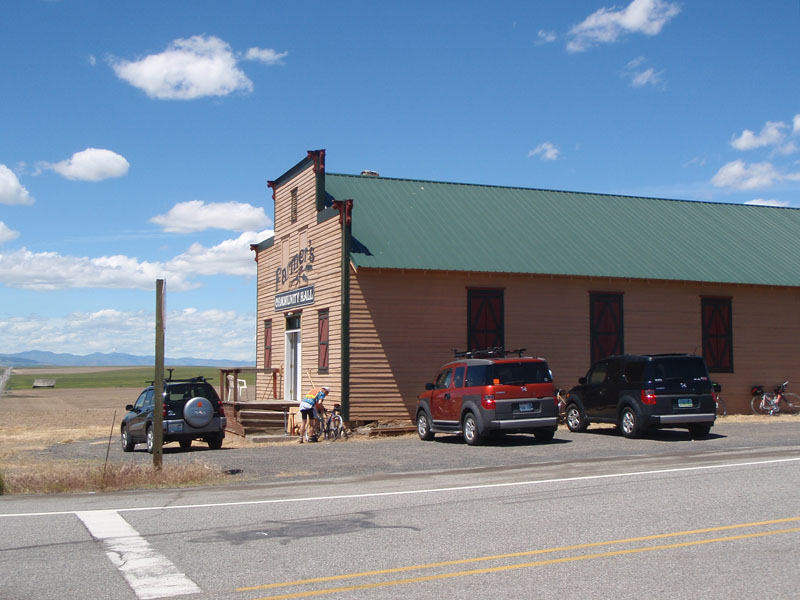
The next control was at a crossroads called Farmer in
the old community hall. Again we had fresh food, cold drinks and the
all-important ice to refresh us before the next stretch. This was mile 68 on the
day, mile 502 total.
We had a south wind that had been building slowly through the
morning so we were going to have a tailwind on the next stretch. I knew the road
north of Farmer from the 400k last year and was looking forward to doing it with
a favorable wind despite the many rolling hills.
I left Farmer alone and averaged 17 mph for the next 32 miles
down to Bridgeport. Granted, the last 8 miles was a nice 1400 foot
descent.
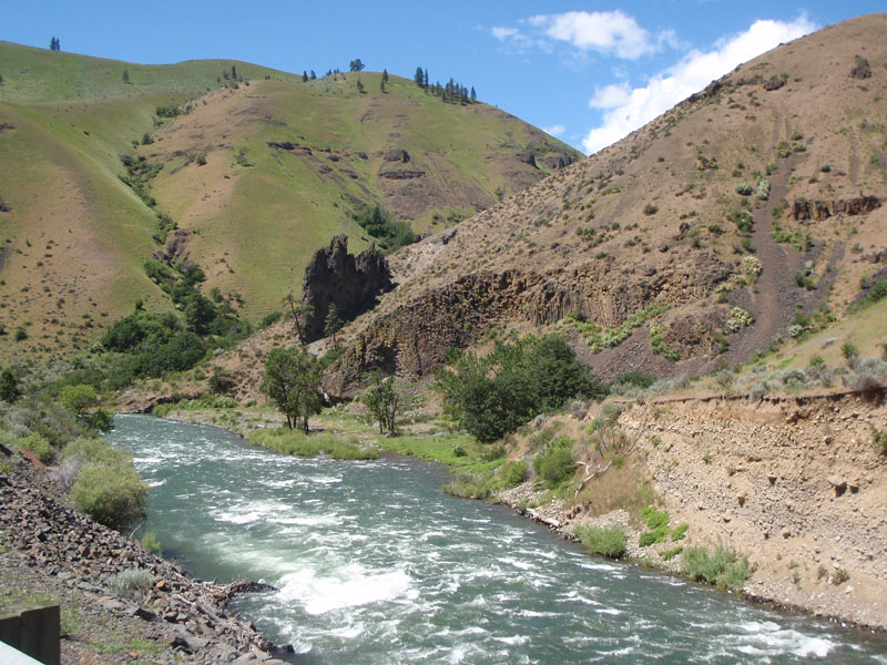
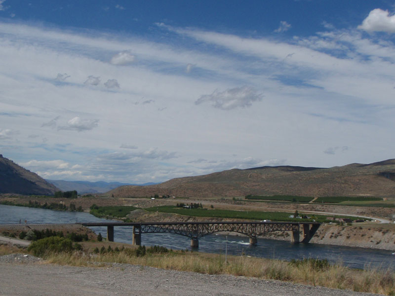
I reached the Columbia river again at Bridgeport but we did
not cross there. We stayed south of the river for 10 miles and crossed at
Brewster. This is the bridge at Bridgeport.
After Brewster we took Old Highway 97 north through the Okanogan
River valley. After crossing the river we left the great basalt plain and
entered a region of granite rocks formed deep in the earth and sediments from
the ocean floor. The lands east and west of the Okanogan River were
once large islands separated from each other and from North America
by a wide ocean. About 50 million years ago the American continent
finished sweeping them up as it moved west. Much of the Okanogan valley is
an ancient ocean trench that closed up when the land masses collided.
The first part of Old 97 was another stiff climb but it
settled in to a nice gradual climb to the next control at Malott.
Partway along Old 97 we saw a sign the said "Road Closed to
Through Traffic 5 miles ahead". The preriders told us that it was OK to proceed.
It was much better than OK. We had miles of pristine pavement, so new it didn't
have lines yet, and it was closed to through cars. As the flagger said to me as
I passed: "This is a biker's dream".
Besides the great road, it was a beautiful place. Here we are
looking across the river from one ancient shore to the other. The west side was
an island the size of California called the North Cascade subcontinent. The east
side was a smaller landmass called the Okanogan subcontinent. They are very
different geologically.
There was another great control stop at Malott, mile 128 on
the day. From Malott, the route diverged into two paths. For obscure reasons you
either already know or don't care about most riders were doing a
single ride of 1240 km but about 20% were doing two rides back to back, one
of 1000 km and the other of 260 km. I was on the 1000+260 ride so my route went
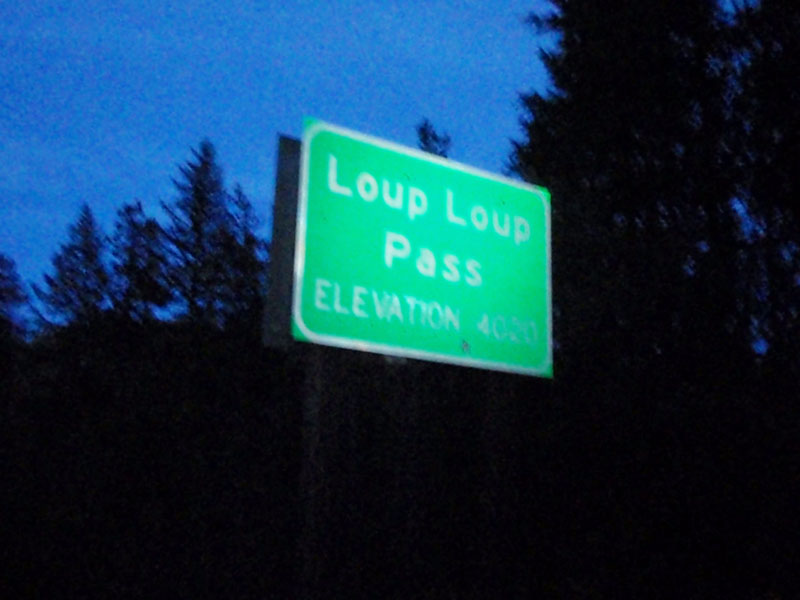
through the town of Okanogan before starting up Loup Loup Pass. That added about
12 miles to the total distance. This is the first part of the climb, before the
painful 6 mile stretch of steeper slope.
I met up with Parick Leahy again on the climb and we stuck
together the rest of the way to Mazama. About 5 miles before the pass we saw a
good sized black bear loping across the road about 20 yards ahead of where I
was. He looked well fed, which was good for us.
Don Jameson told me that the Loup Loup Pass road was built by
local people to carry goods from the Methow Valley to the Okanogan Valley.
That's why it is not graded like an interstate and why it doesn't have a lot of
grand vistas. It is a nice ride through the forest though. This is the sunset
over Loup Loup looking west.
The same sunset looking east.
Finally, made it to the top!
We still had 36 miles to go to the overnight stop at Mazama. The
first 10 miles was a 2400 foot descent into the Methow Valley. It was
great fun but we were a bit cautious because we had been warned about frequent
deer accidents on this road. The last 26 miles were a gradual climb into a
headwind which we got through by working together in a mini paceline. We
arrived in Mazama at 00:56, 7 hours inside the cutoff time for the 1000k.
The food, shower, and sleep were wonderful but the place was
pretty crowded since we were near the back. There were about 20 riders still on
the road when we arrived at Mazama. I had foot pain all day and the saddle
sore but I was amazed how the brain can stop paying attention to pain after a
while.
Day 4
The following
morning, I got to see what the Mazama stop looked like:
Most of the 1000+260 riders decided not to do the 260. They got car rides
back to Monroe. That left Steve Davis, James Mckee, and I as the only riders
left on the 260k ride (Brian Ohlemeier and Mike Sturgill did the
260k but they were about 8 hour ahead of us). Steve had already left so
James and I teamed up after breakfast and headed out to finish the ride. We left
at 08:10 and had 17:20 to do 162 miles. Not so hard except the mountain pass and
the headwinds and the 624 miles we did to get there. We were almost the last
riders to leave Mazama but for other obscure reasons we had to be done an hour
and a half before the cutoff for the 1200k.
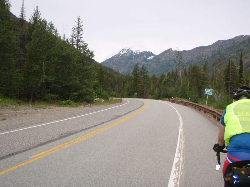
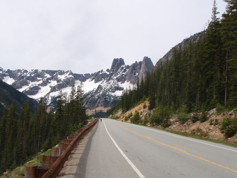
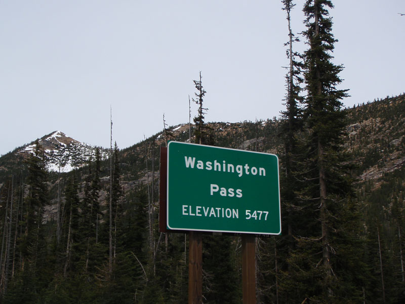
Washington Pass on the North Cascades Highway is a 17 mile, 3500
foot climb from Mazama. The morning was cool and overcast and there was a
moderate headwind. James and I decided to keep the pace managable and
stick together.
The ride from Mazama to Marblemount crosses the North Cascades
subcontinent. Many of the rocks existed long before they were joined to North
America by continental motion. The peaks are high and jagged because they
are made up of hard granite and gneiss (nice!) rocks crystalized
deep underground.
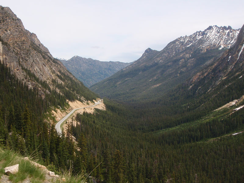
This picture is from about 3 miles below the summit. The spires
to the right are part of the Golden Horn granite which formed underground
after the North Cascades joined North America.
This is about a half mile below the summit, looking back on the
road we came up. This is the classic shape of a glacier carved valley
Last major climb done!
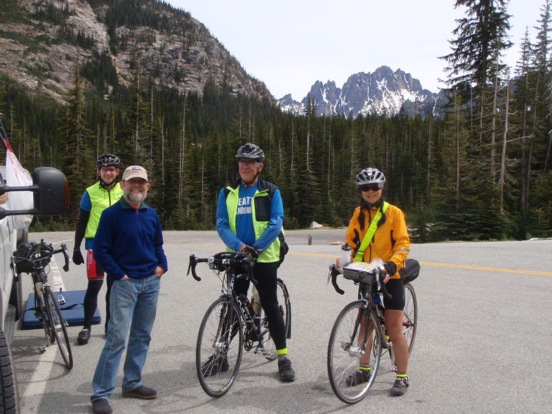
Here are Jennifer Chang, Steve Davis, Matt Dalton, and James
McKee at Washington Pass. Jennifer had a very hard road to travel on this ride
and finished just outside the time limit. Despite that she showed great courage
and determination in getting there, a real Randonneur spirit. I'm not sure why
we do this but I don't think it's really for the trinkets. She got everything
else there was to get out of this ride.
The last official pass of the ride. That's a nice chunk of North
Cascade granite in the background.
Comming down the west side of the pass along Ruby Creek was not
all that we hoped it would be because we still had the west wind that helped us
on the first day. Nothing is free. But the sun came out and it was a beautiful
day to ride.
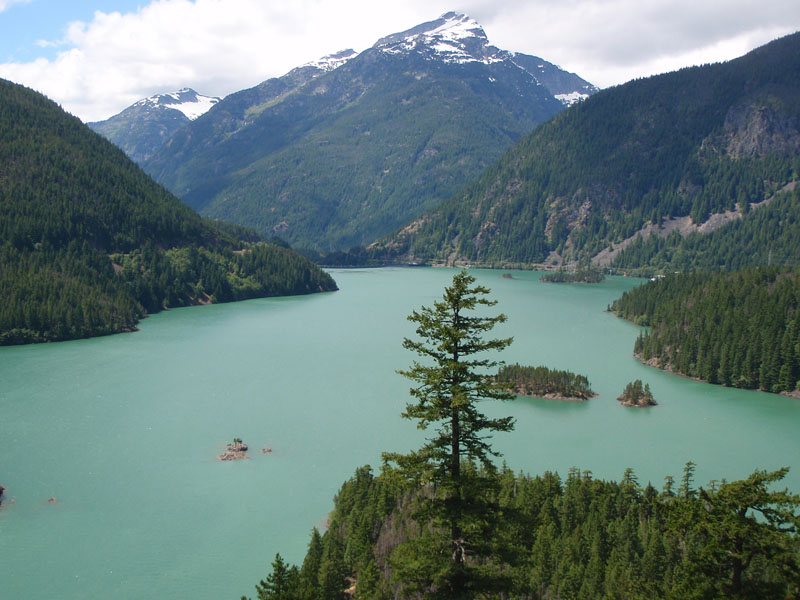
This is the Ross Lake Reservoir. We stopped briefly here to
stretch, eat, and enjoy the view. Ross Lake was created for hydroelectric power
by Seattle City Light. The color comes from the fine sediments washed down from
the glaciers of the North Cascades.
When we got down to Newhalem, James and I realized we were under
the gun to reach Marblemount before the control closed for the 260 k route. I
thought we could not make it due to the headwind and intermittent climbs.
We needed to get the engine running.
James said
let's go for it so we made a paceline and worked hard to do the next 14 miles at
17 mph to just make it at the control closing time at Marblemount.
Leaving Marblemount, we continued at a more moderate pace but maintained the
short time on the front before trading off. We made it to Darington by 18:30 and
had a sit down dinner with several riders on the 1200K. Then we were off on the
home stretch. We had a pleasent ride down to Arlington. Donald Boothby drove by
and took our picture as he was trolling the route looking for his friends.
After we turned south towards Granite Falls it started to rain. We stopped
and put on our rain gear. We finally felt vindicated to all of those riders who
asked us why we carry so much junk and why we had fenders and mudflaps on a
desert ride :-)
The last control before the end was in Granite Falls. Don Boothby showed up
again to give us a hard time, er, encourage us on our way.
It was really dark by then and there are a series of turns and short steep
rollers going around Lake Rossiger. After the rain, there was a ground fog that
added a sort of mysterious adventure quality to the last 20 miles into Monroe.
Both James and I had excellent lights so we had no problems navigating but we
were very careful to double check every turn. It would be a bad time for bonus
miles.
We made it into the finish at Monroe at 37 minutes past midnight on June
30th. Our total time for the 260k was 16:27 out of a possible 17:20 so it's good
that we didn't loiter any more than we did. Donald was there to capture the
occasion.
This ride was a great experience and I thank everyone involved in making it
happen. I also thank all who shared the miles, especially James KcKee, Pat
Leahy, Don and Elaine Jameson, Dwight Brown, Jeff Loomis, Steve Davis, Chris
Gay, Robert Higdon, Joe Platzner, Wolfgang Nitsche, Dan Barbasch, Ian Shopland,
Jennifer Chang, and other new friends whose names escape me. Hope to see you all
in Paris next year.
Ballad of the Cascade 1200 Composed on the road from
Dry Falls to Bridgeport
To the Tune of "Willin" with thanks (or
apologies) to the late great Lowell George
I've been blown by the wind,
broiled by the heat Had my butt worn out, but I'm still on my seat And I'm
still willin'
Out on the road late at night, seen the full moon
shining Like a 6 volt head light, downhill with a tailwind
And I've
been from Packwood to Okanogan, Yakima to Darington I've ridden every kind
of road that's ever been laid Carryin' our mudflaps so we won't get
sprayed And if you give me snacks, drinks, and ice And some chicken and
rice And I'll be willin' to keep rollin'
I've been burnt by the sun,
chilled by the cold I'm tired and sweaty, don't you know And I'm still
willin'
Struggled with broken spokes at Texico They're signin' my card
every time I go to Texico And I'm still...
And I've been from Packwood
to Okanogan, Yakima to Darington I've ridden every kind of road that's
ever been laid Carryin' our mudflaps so we won't get sprayed And if you
give me snacks, drinks, and ice And some chicken and rice And I'll be
willin' to keep rollin'