Seattle International Randonneurs
Wenatchee 600K Brevet
4/23-24 2011
Ride Report with notes on Geology and Agriculture by Chris Heg
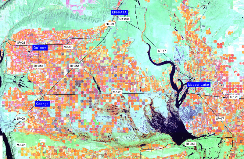
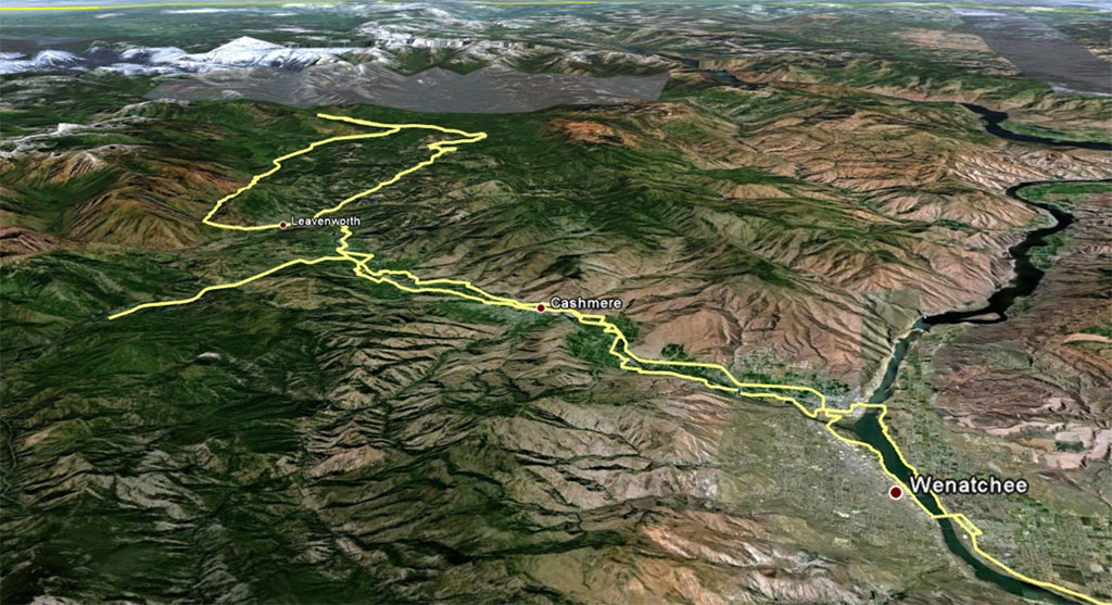
On 4/23/2011, Seattle International Randonneurs organized a 600 km bike ride in 2 parts, east and west of the Columbia River in Wenatchee. The event was offered in conjunction with the annual Northwest Crank bike week.
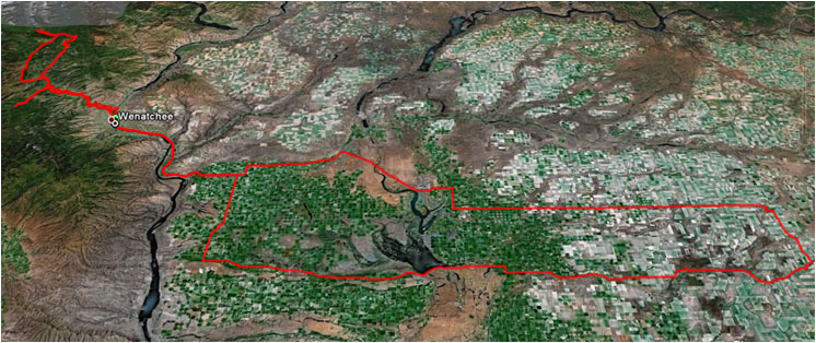
The first 400k was a long loop east of the Columbia River on the arid basalt plain from Wenatchee to Ritzville and back. The last 200k was west of the Columbia through forests and orchards along the Wenatchee River valley reaching into the Cascade Mountains. Start, finish, and the overnight stop were all in the town of Wenatchee.
Part 1: The Plains
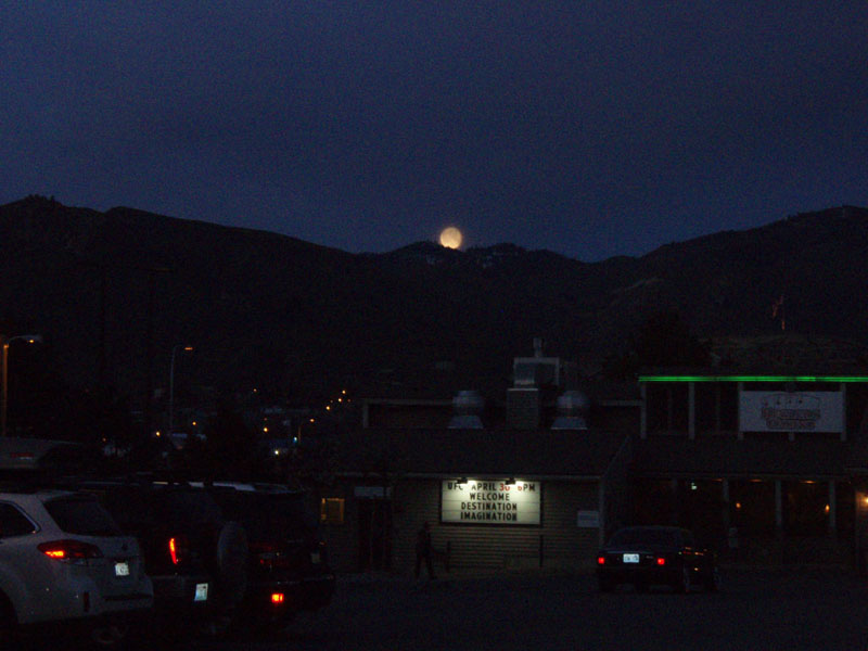
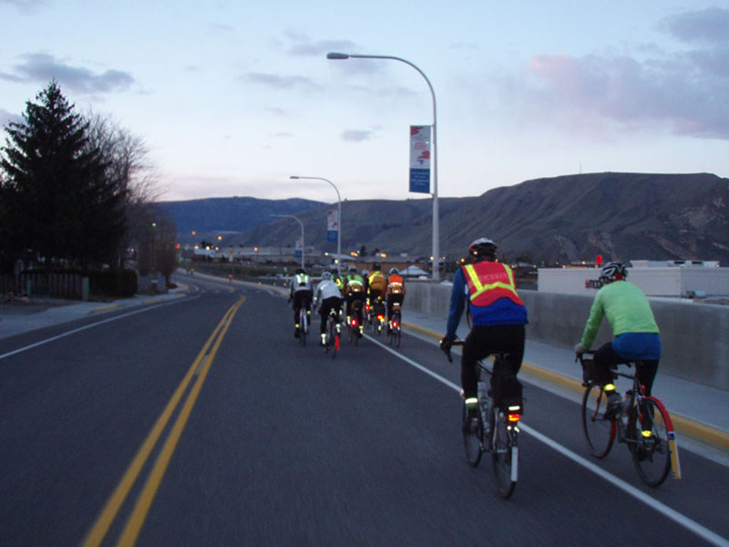
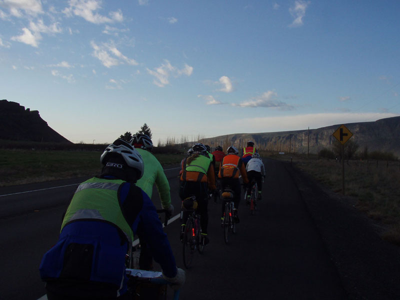
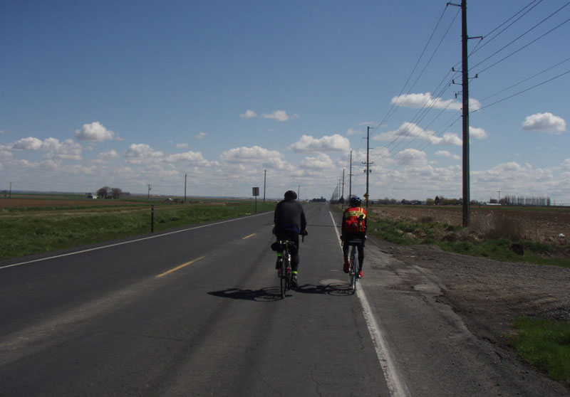
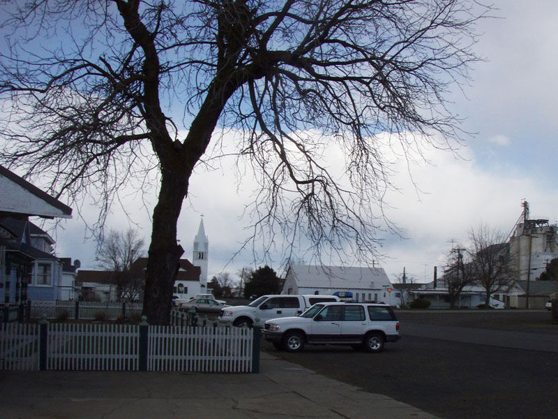
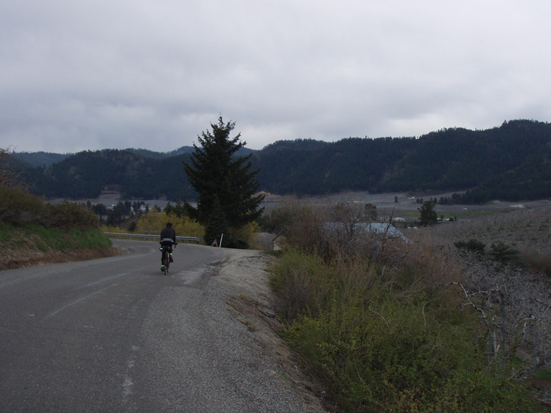
About 25 riders started at 06:00 from the Inn at the River Motel in East Wenatchee. The moon was just setting as we rolled out.
The start was not too fast because everyone knew that we had a long way to go. A couple of groups formed as we rolled along the Columbia river in the early morning light.
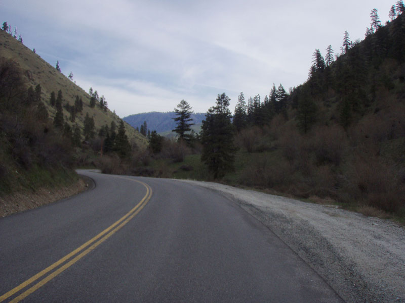
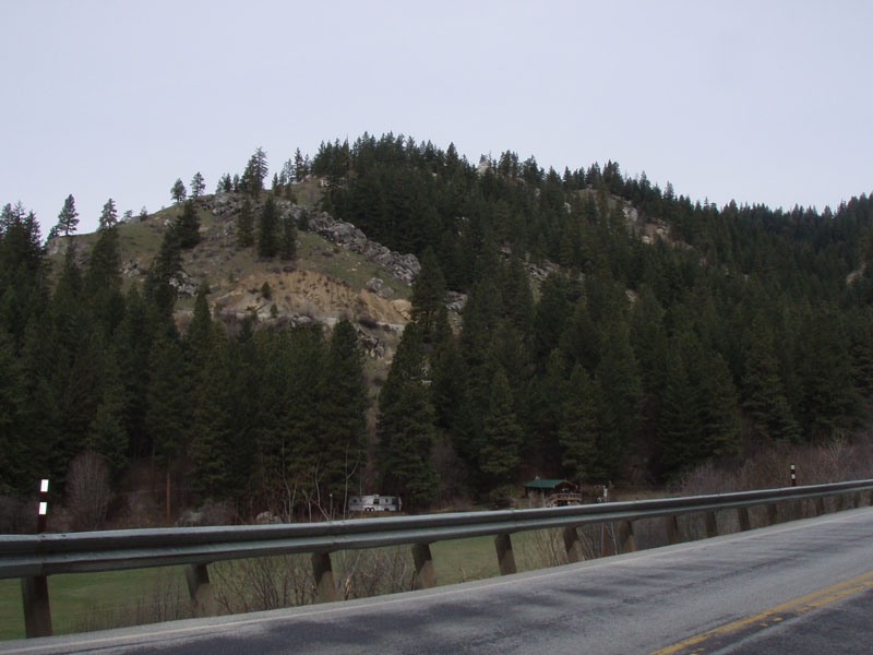
The Columbia river follows a deep valley between basalt cliffs south of Wenatchee. Spring color was showing in the trees and sagebrush.
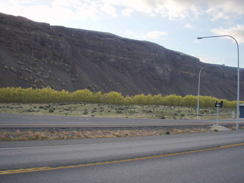
Most of the left bank of the river from Bridgport to Wenatchee is the edge of the Columbia Basin basalt formation but south of Wenatchee the basalt cliffs line both sides of the river for about 100k down to Mattawa. The famous Gorge Amphitheater at George, Washington overlooks this stretch of river. That's the tireless Mark Roehrig leading the pack. He was one of 3 riders to do the entire Super Randonneur series in one week at Wenatchee. The others were John Kramer and Ken Bonner.
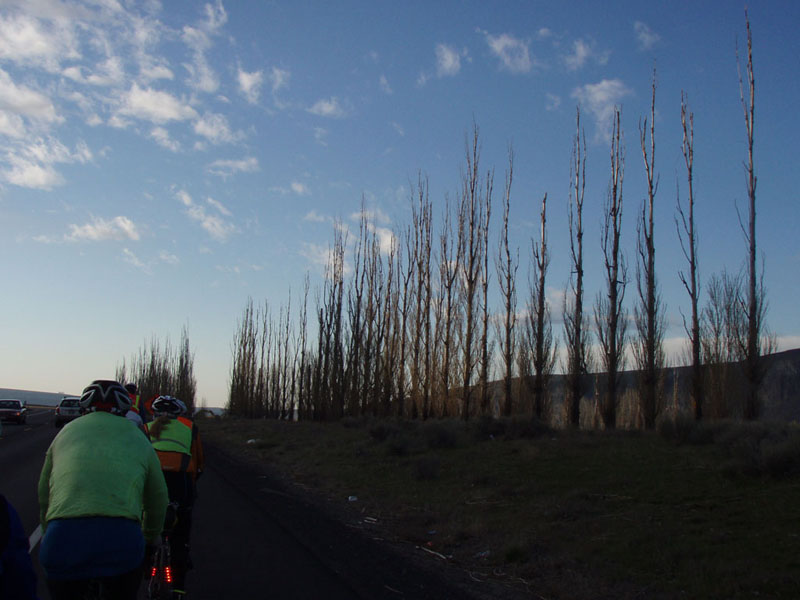
Poplar tree windbreak. Too early in the year for leaves.
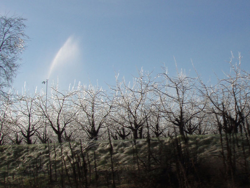
After some rollers along the river we hit the first climb, about 600 feet in 2 miles, up to the top of the plateau. Near the top we passed an orchard where the trees were sprayed with water mist to coat them with ice. This prevents the water inside the tree from freezing and prevents frost damage. They looked like crystal trees.
The Columbia Plateau has an interesting geologic history. 100 million years ago it was the ocean floor off the west coast of what is now North America. 20 million years ago it was a low area, possibly a shallow sea between mountains to the north and south. Between 17 and 13 million years ago it was buried under about 6000 feet of black volcanic rock called basalt. Layer upon layer built up causing the land underneath to sink under the weight, so that it remained a basin surrounded by higher ground. Over the period between the cooling of the lava and the last ice age a large area of windblown sediment called loess collected on top of the basalt plain. Loess produces soil that is a fantastic medium for agriculture, one of the most productive in the world.
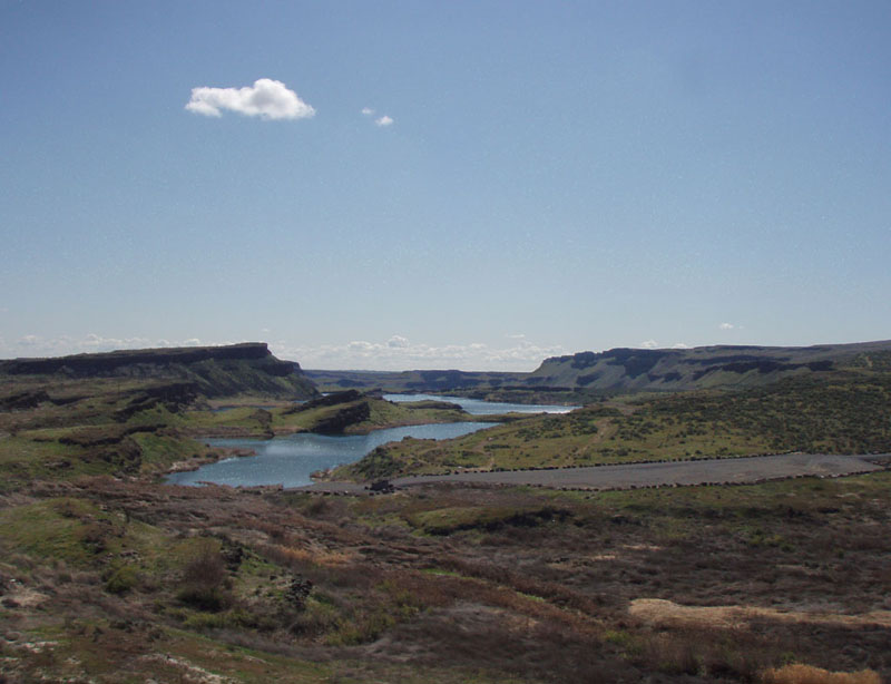
15,000 years ago, another catastrophic event occurred that made the landscape we see today. That was the height of the most recent ice age. An ice sheet came down from the north and blocked the Clark Fork River in Montana, forming an enormous lake 2,000 feet deep with as much water as Lake Ontario. Eventually enough water built up to lift the ice dam and break through. In a matter of days the entire lake drained across the Columbia Plateau, stripping away everything down to bedrock in the flow channels then tearing up and sweeping huge blocks of basalt across the plain toward the Columbia River channel south of Lake Chelan. This happened at least 40 times. The main flow paths from Lake Missoula are called the Channeled Scablands.
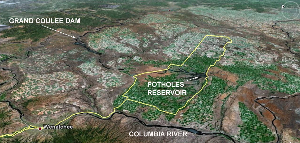
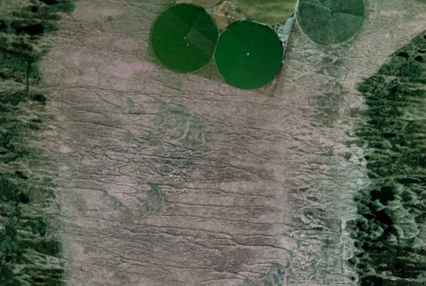
This is a Google Earth picture from a few miles north of that road. It shows the current ripples left in the flood path. For scale, the green spots are farm fields 1/2 mile across.
The floods left a patchwork of bare rock channels, flood gravel and sediment, and undisturbed loess. That is the landscape of the Columbia Plain today with one major modification: agriculture.
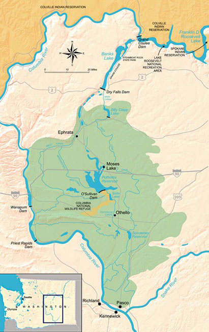
On the plateau, we entered the Columbia Basin Project area. This is a massive irrigation project that has transformed 1,100,000 acres of rock and sagebrush into 670,000 acres of rich agricultural land and 430,000 acres of reservoirs and desert. I found an article from the New York Times in 1894 that described the origin of large scale irrigation in the region. The Northern Pacific Railroad owned vast areas of land in Eastern Washington because the Federal Land Grant law had given them gave 20 square miles of land for every mile of track they laid. Much land in other areas became valuable once the railroad was built but this area was near worthless without water. They started irrigating in the Yakima Valley, west of the river.
"Paul Schultze, the General Land Agent for the Norther Pacific Railroad Company in Washington realized some years ago that to sell the corporation's land grant and to cause it to produce freight, instead of continuing to use it as an extensive breeding ground for jack rabbits and sage hens, irrigation on a large scale must be practiced, and that to build and maintain a great ditch was far beyond the financial means of a group of arid-land farmers or small cattle growers. ... He wisely decided that the ditch company should make its profit on the sale of land, and not on seeking to establish a poverty-creating monopoly in water. ... Each and every ten-acre tract that the irrigation company sells carries one share of ditch company stock. When all the land is sold, all the company stock will be owned by the men who till the lands under the ditch. They can set the price at which water shall be sold per acre, which will be just sufficiently high to maintain the ditch."
This project was not at all altruistic. The increased land value benefited the railroad and they held a monopoly on transporting the product. As the author says, "The only industry in the region, agriculture, is shamefully oppressed by the Northern Pacific Railroad Company. The freight charges on this railroad crush every industry that is tributary to it."
The Columbia Basin was a much larger and more ambitious project. The Grand Coulee Dam was originally built in the 1930's to provide irrigation water to the Columbia Basin. At the time, there were a lot of displaced farmers looking for a place to go. It turned out that electricity was a very useful byproduct for things like powering the atomic bomb development at Hanford, Washington during World War II, and the irrigation project was delayed. The irrigation part took off in the 50s and 60s.
This picture was taken about 10 miles west of the Potholes Reservoir. On the right is an area of loess soil under irrigation. Across the road is all jack rabbits and sage hens.
The next picture shows a satellite infrared image of the area between the Columbia River and Moses Lake. The orange dots are all irrigated fields. They are round because they use center pivot irrigation. They are typically 1/2 mile across.
When the project started, the idea was to develop small to medium farms and recover the cost of building and operating the irrigation system from the farmers over time, but the cost of the project grew to the point that it greatly exceeded what the farmers could pay. The repayment rate was fixed in 1963. Right now, the cost of delivering the water and maintaining the system is much greater than the income from the water. Charges to the farm operators cover about 1.5% of the cost of the system. The rest comes from taxpayers and people who use electricity from the Bonneville Power Administration. It's not chicken feed--it's on the order of $150 million per year. Now, for better or worse, it's a federal government subsidy for farms that would not be economically feasible without it. Plus there are other factors like the effect on salmon runs of pulling all that water out of the river. Still, a lot of people live in the basin and depend on this system for their livelihood, directly or indirectly. You can't just shut off the taps and tell them to go away. Here is an interesting article on the economics of the project.
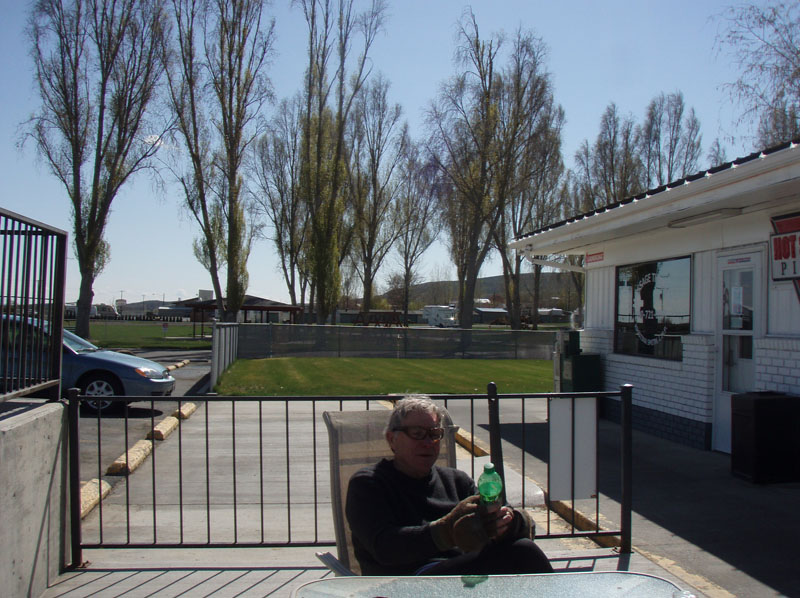
Steve Davis and I had lost the paceline at Frenchman Hills Road, about 75k into the ride. It was warming up and we both needed to shed some clothes and by the time we did everyone had gone ahead. That was not a problem for us; we ride together a lot and our normal pace is a good deal slower than the group was going. We just settled in for the long haul. Here is Steve contemplating his choice of beverage at the Potholes State Park store.
We continued on State Route 262 which runs across the top of the O'Sullivan Dam. On the left is the Potholes Reservoir, part of the Columbia Basin irrigation system. On the right is the Channeled Scablands.
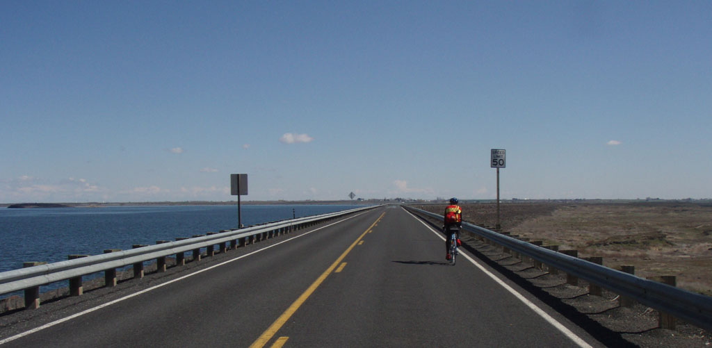
This is looking south from the top of the dam. Not much farmland down there.
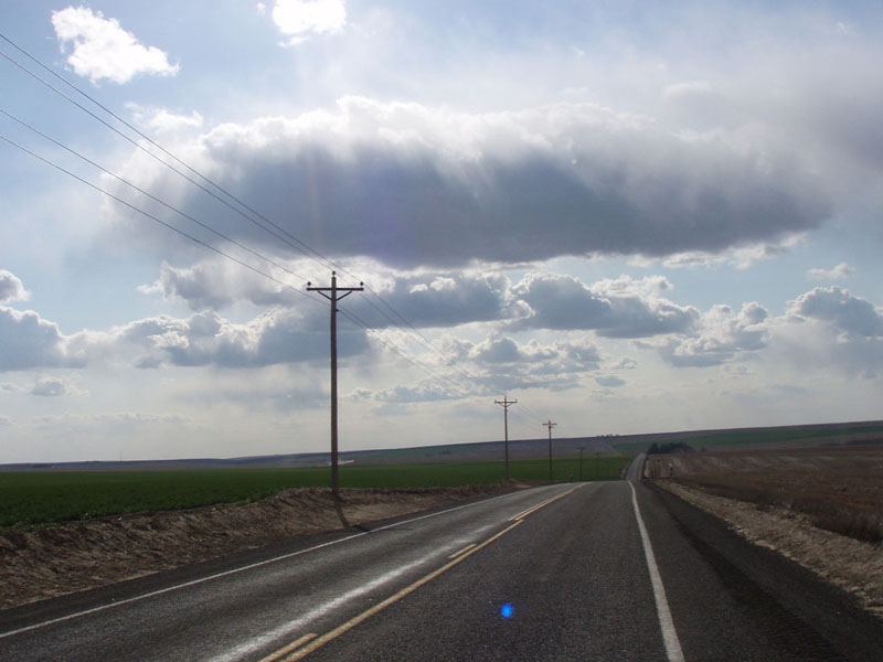
The day had been pretty much cloudless so far. As we headed East, we started to see these evenly spaced puffy white clouds marching along to the North. I call them "trade wind clouds" because that is what you see in the middle of the Pacific Ocean as you cross the tropics.
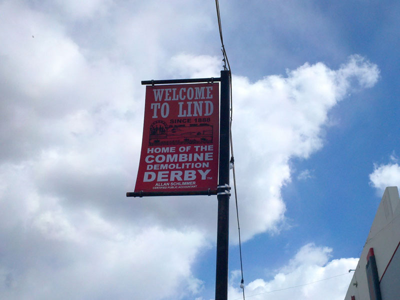
Our next stop was Lind, which is famous for its motor sports. There's an event I'd like to see.
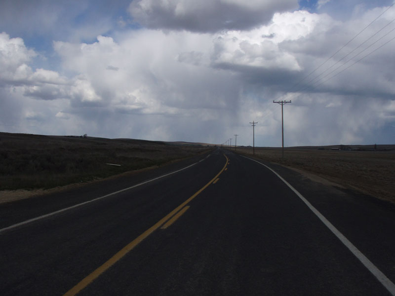
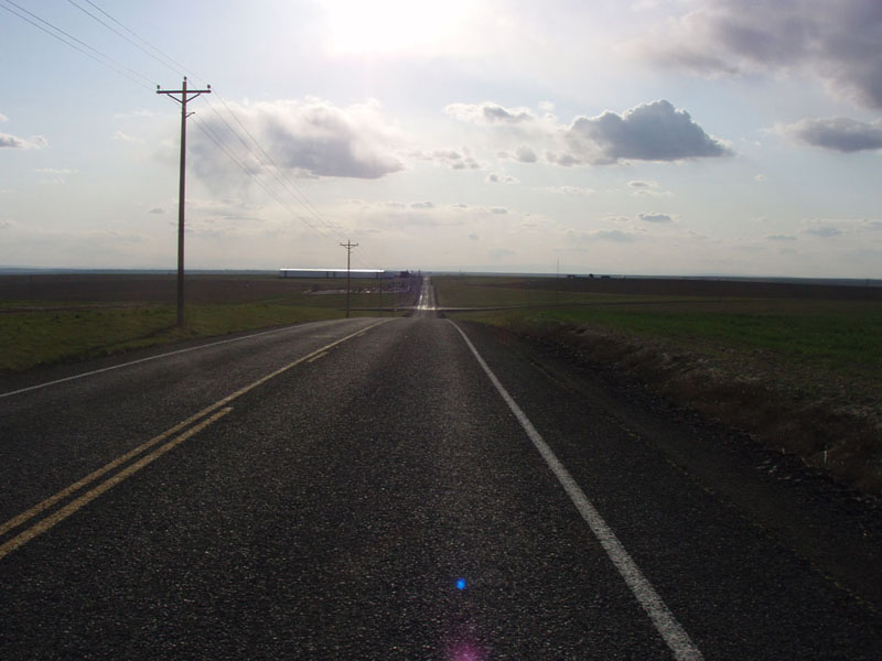
At Lind I found that I had caught something in the wheel and sheared a spoke nipple off at the rim but since I had 32 spokes in the wheel it was no big deal. I just took the broken one out, trued the wheel, and kept going. Between Lind and Ritzville the clouds got thicker. We could see rain ahead and to the right and left. Somehow we managed to miss all of it.
Our turn around point was Ritzville. A lot of people have told me that this is where you stop to take care of business while driving to Spokane from points west. We had a little stop at McDonalds to do that ourselves.
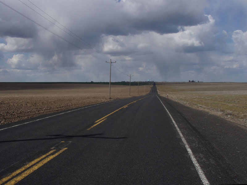
From about 200 to 275k we had rolling hills, some up to a couple of hundred feet tall. A lot of them were not big but you couldn't get enough momentum to get over so you'd end up grinding away to the top of each rise, only to see 3 more hills ahead. After Ritzville, they got pretty tiresome but I guess I'd better get used to it, that is what the terrain is like on PBP. :-0
After what seemed like hours (come to think of it, it WAS hours) we came down into Moses Lake. Moses was not home to part the waters so we stopped for a bit then turned north toward Ephrata.
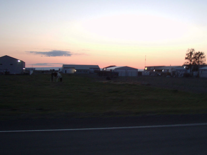
The sun went down soon after we left Moses Lake. We had about 110k to go to the overnight stop.
We made pretty good time on the way to Ephrata, covering the 40km in under 2 hours. We made up for it by stopping to eat again in Ephrata. They locked the door of the minimart in Ephrata behind us as we walked out. It was notably colder when we left
The road to Quincy was very quiet, only a few cars. It ran along the slope of Monument Hill so we could see the lights of Quincy and all of the farms and businesses to the east. We could also see the lights on the the wind generator towers 20 miles away across the river.
After Quincy, we rode back down to the Columbia River by the same road we had come up in the morning. I was convinced we had done a significant climb in the morning because I hit 40 mph on the descent. When we got back down to the river it was 1:00 AM and we had about 12 miles to go to the overnight stop. We arrived a little before 2 AM, 2/3 done with the ride.
Steve was staying in his trailer at a camp site so he drove over there to sleep. I went back to my room to shower, eat, and fix my broken spoke before getting about three hours of sleep out of five and a half hours stopped. I found out last year that it's better to get your gear and bike ready to roll before sleeping because you WILL forget things if you try to do it after you wake up.
Part 2: The Valley
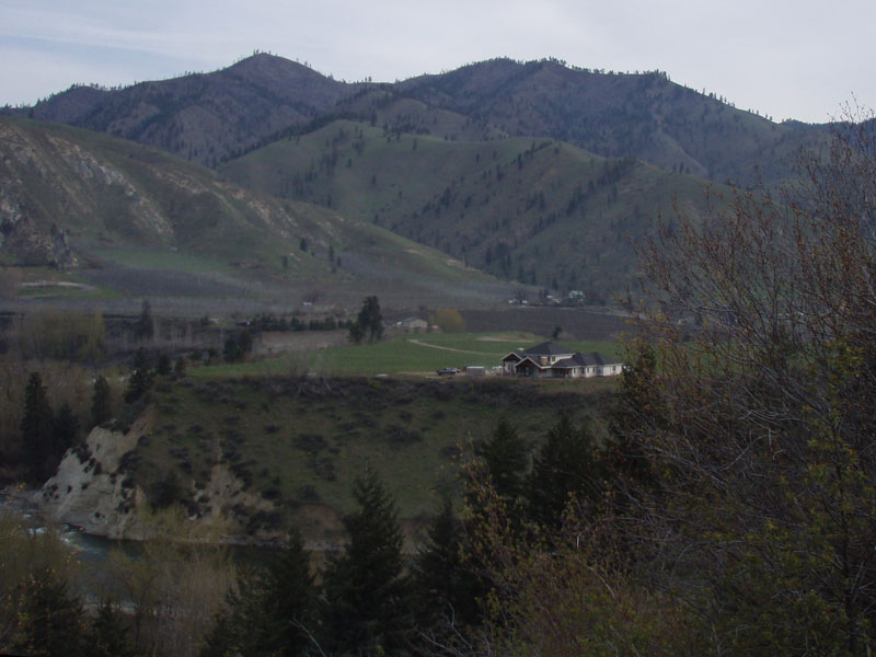
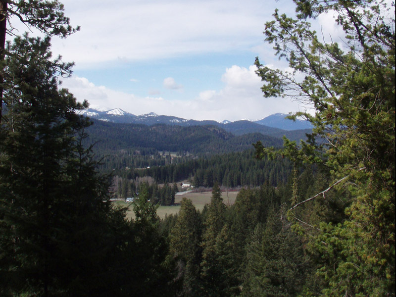
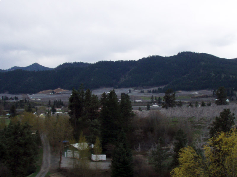
The second day's ride was west of the Columbia River, up the Wenatchee River valley in the eastern Cascade Mountains. This is a completely different geologic formation from the east side of the river. Once the land that makes up the Cascade mountains was a group of islands far offshore from the continent of North America. About 100 million years ago, the islands were swept up and jammed together into this mountain range. Then over time horizontal and vertical faults cut and stacked the former islands and spread them like a deck of cards. Inject a couple of generations of volcanoes and a lot of deep molten rock, stir with an ice age or two, and you have the central Cascade Mountains. Simple, right?
If you are interested in knowing more, here is a website that will allow you to review the surface geology of the whole state. I designed and made this some years ago, I would say it's my personal best achievement in geekdom. For reasons I have not figured out yet, it works well on Firefox and Explorer but not on Google Chrome where you have to resize the lower frame. YMMV.
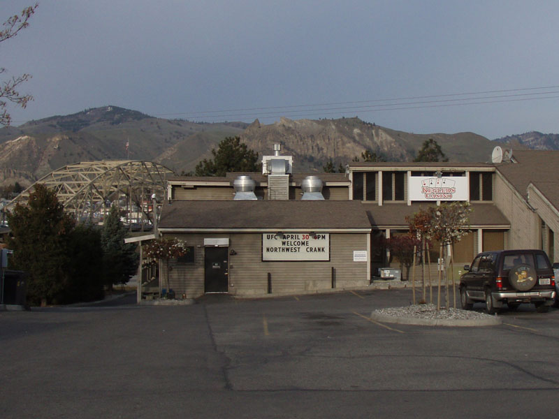
In the morning the Casino had changed their sign to "Welcome Northwest Crank", plus there's UFC cage fighting on the bigscreen. Guess they heard there was a bunch of cranky bikers in town.
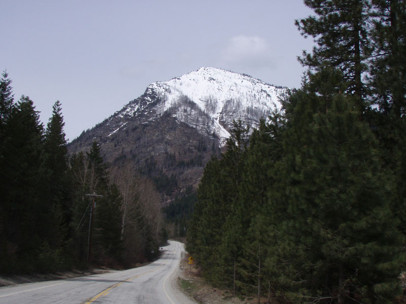
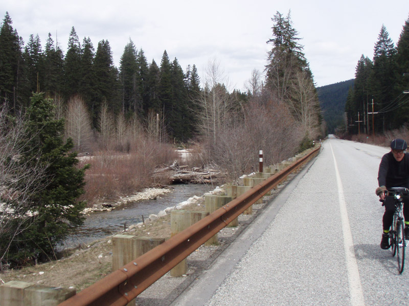
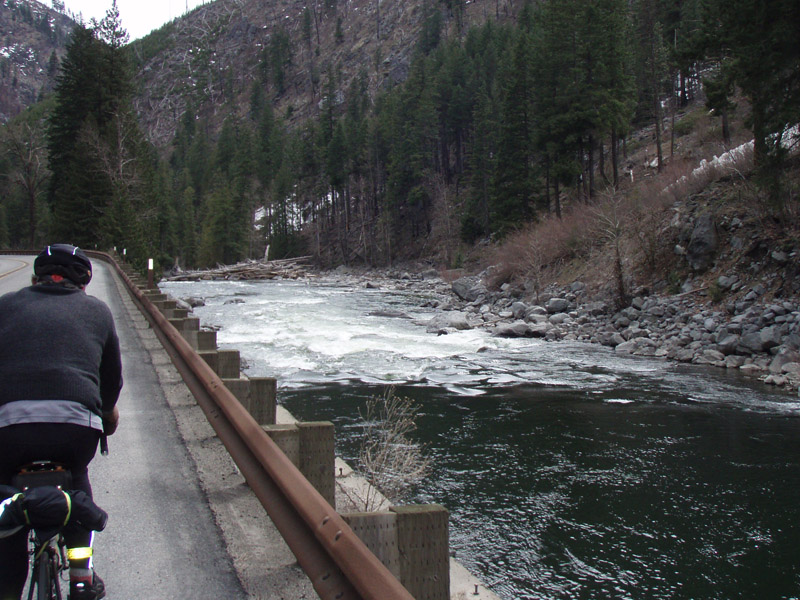
The route went up the Wenatchee River valley to Lake Wenatchee and back. US Highway 2 runs trough the valley and is rideable but the route designer managed to avoid most of it by taking quiet local roads north and south of the highway. Of course, the side roads had lots more hills, but we pretty much expect that on SIR rides. Last year on a 600k I rode the whole 50 mile stretch of Highway 2 from Stevens Pass to the Columbia River in one go. The only part I particularly like is Tumwater Canyon and that part was included on this ride. In fact, 3/4 of the total distance we rode on Highway 2 this time was in Tumwater Canyon.
We could soon see that we were not in Kansas anymore.
A cluster of trees by the river showing spring color. The clouds had come in from the west during the night and most of the second day was overcast.
This is a typical climb up a canyon in the side of the valley. This particular one was a wrong turn but fortunately the Garmin GPS told us we were off course before we did too many bonus miles.
This is Stines Hill Road on the south side of the river. It was amazing how many of the roads had "Hill" in the name. Pure coincidence, I'm sure. Everyone's favorite had to be Deadman Hill Road. It went up about 300 feet in 1/2 mile. As I was grinding slowly up about half way to the top I passed a small steep fenced lot with a beautiful white horse standing near the bottom end. The horse was eyeing me as I crawled along past the fence. As I passed he threw his head back and ran past me up the steepest part of the hill, I guess to show me how it's done. Unfortunately, I couldn't do much with the example.

The is at the top of Stines Hill Road, looking north across the river. We went back and forth across the valley climbing the flanks and descending back to the river.
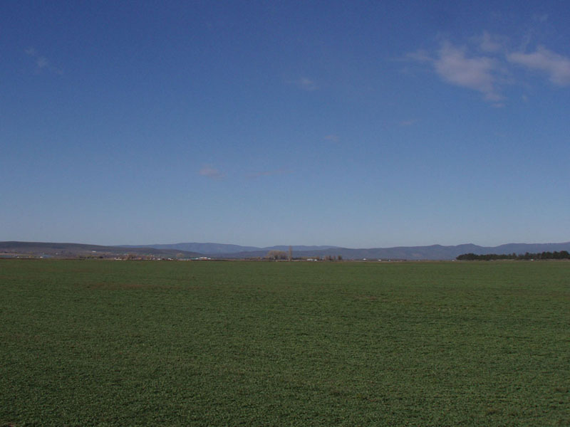
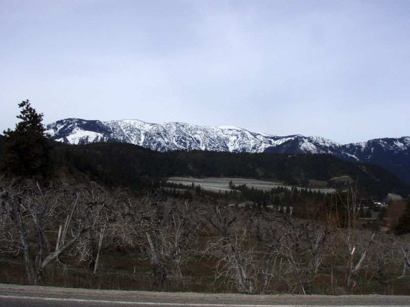
The valley was full of orchards. This is a major apple, apricot, and cherry producing area. You can see that there was still a lot of snow in the mountains.
After we reached Leavenworth we turned north along Chumstick Creek. It's a very nice low traffic road through ranch country.
After about 10 miles of steady gradual climbing, we got to where the road crosses over from Chumstick Creek to the upper Wenatchee River. That's the roadcut on the hill above us. I had driven this road 2 days before and thought it was going to be tough but it turned out to be not bad at all in this direction.
After a brief stop in the town of Plain we continued up the Wenatchee River until we reached Chiwawa Loop Road. The next picture shows the bridge over the Chiwawa River. This has a particular significance for me because when I moved to Seattle in 1974 I went on a 21 day Outward Bound trip. We started on the north fork of the Skykomish and hiked across the Cascade Crest to the Chiwawa River about 20 miles up from this bridge; then we hiked back to the start. I had not seen this river since that day 37 years ago.
The whole area was beautiful and nearly empty of cars. There were still scattered snow fields mixed among the trees
At about mile 300 we reached the Lake Wenatchee Highway and rode it to the west end of the lake. This is looking west to Dirty Face Mountain, north of the lake.
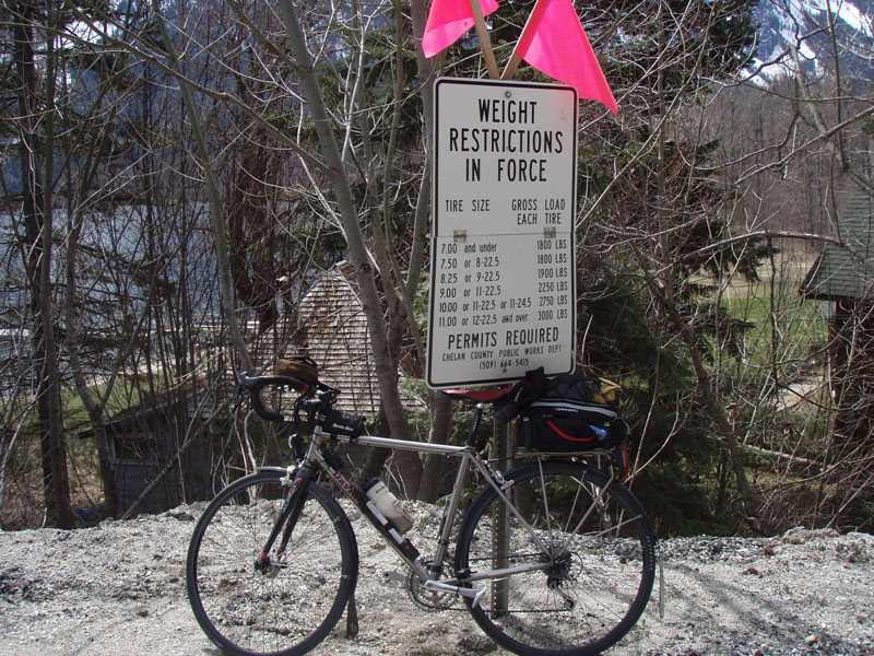
When we got the the end of the lake we doubled back on a road called North Shore Drive. I had to stop here. I tend to carry a lot of gear so I had to make sure that I wasn't exceeding the permitted axle loads. They didn't actually say what the limit is for 700c tires...
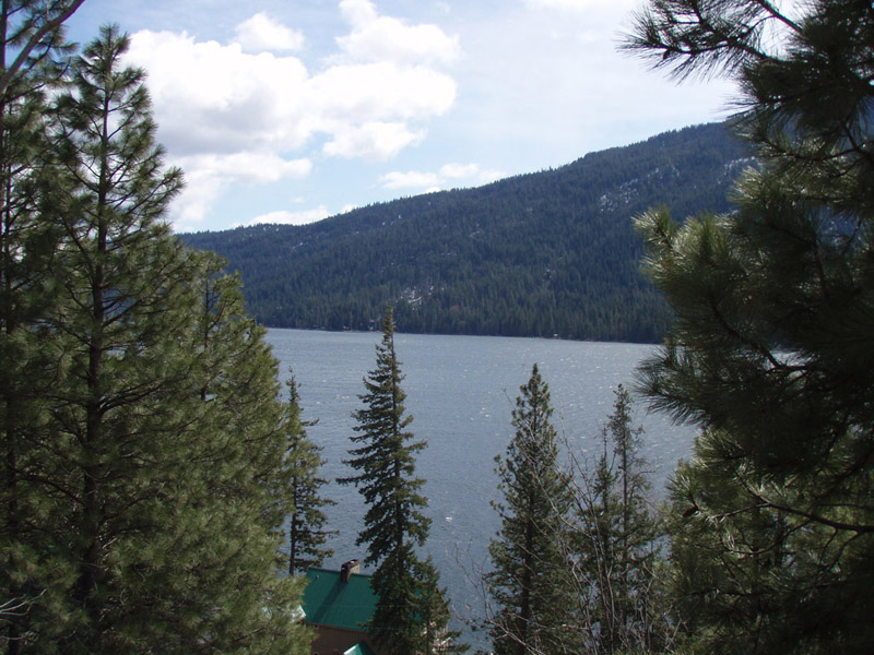
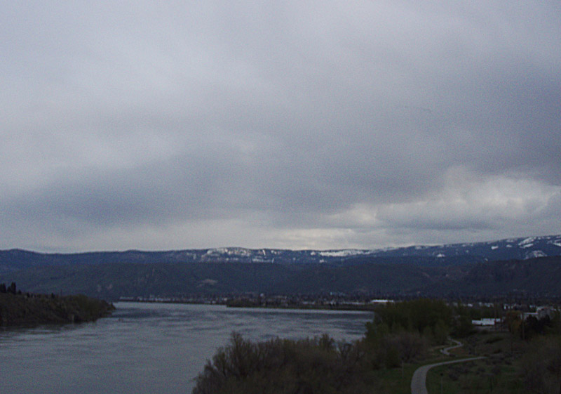
This is a view across the lake from the north shore. No, it didn't miraculously clear up, I took this picture 2 days earlier.
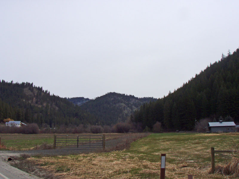
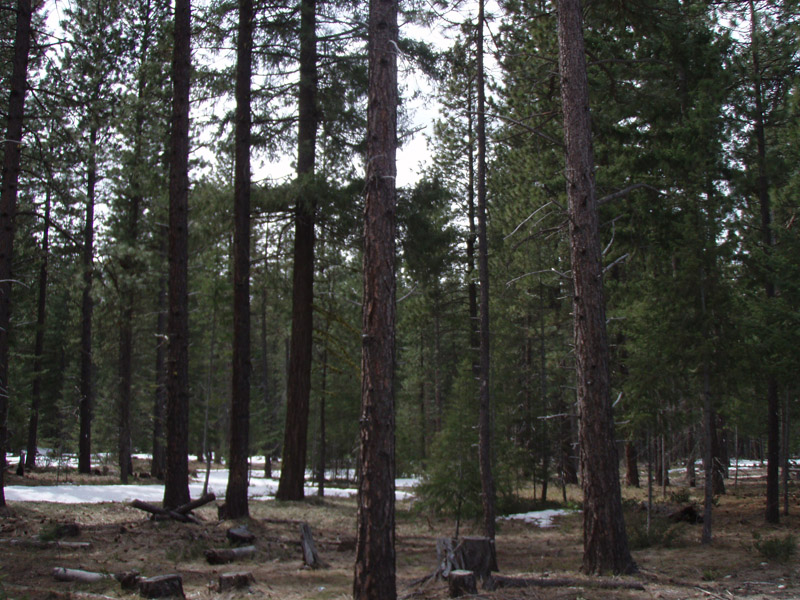
After the lake, the route followed Nason Creek back to Highway 2. This is an example of the type of forest we were riding through. It's much more open than what we are used to west of the Cascades.
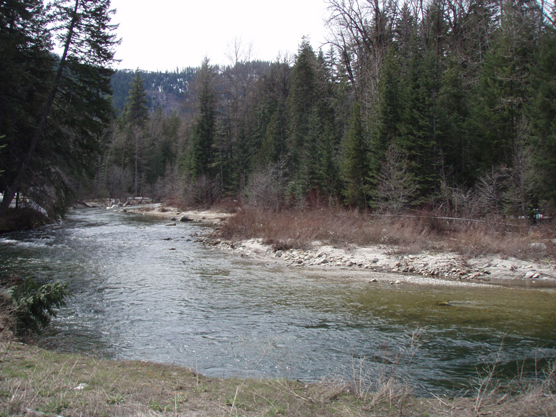
A couple of pictures of Nason Creek. Steve and I were still riding together, as we did for almost 700 miles during that week in Wenatchee. It made the rides much easier to have good company on the road.
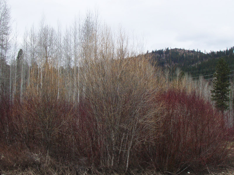
Along the creeks and rivers that day we saw many of these Red Twig Dogwood patches. I took a lot of pictures of them and unlike most, this one came out OK with the spring buds for contrast.
After a short stop at Coles Corner store, we rode down the "good part" of highway 2, through the Tumwater Canyon.
After Leavenworth, the route followed other roads up and down the sides of the valley. This is North Dryden Road, looking south at the hills we played in that morning.
There were some beautiful views along North Dryden Road...
...but not everyone really seemed interested in preserving them.
The last 15 miles to the Columbia went through more quiet roads through the orchards and, yes, more hills. Finally we went back across the Columbia River and spent the last few miles on the pleasant and scenic River Loop trail back to East Wenatchee.
Thanks to Geoff Swarts for coming up with an outstanding route. We smiled at the scenery even more than we cursed the hills. And many thanks to Steve Davis for his steady pace and tolerance for bad jokes. It was a memorable ride.
This site was built by C. Heg
cheg01 at comcast dot net